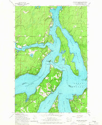
1959 Map of Squaxin Island
USGS Topo · Published 1966About this map
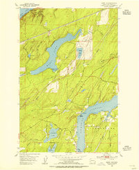
Squaxin Island Indian Reservation dominates this maritime landscape at the southern reach of Puget Sound, where a complex network of inlets and passages defines the geography of Mason and Thurston counties. The map captures a coastal economy transition, featuring the Marine RR at Arcadia and the navigational aids like the Libby Point Light and the Dofflemyer Point lighthouse.
Find a feature on this map
45 named features on this map. Tap any name to fly to it.
Don’t see what you’re looking for? This feature index may not catch every label — zoom into the map to look around manually.
Map Details
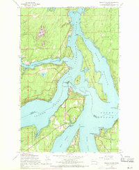
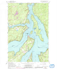
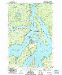
Editions of this 1959 Squaxin Island Map
4 editions found
Other maps of this area

1937 · Olympia
USGS Topo · 1:62,500

1938 · Allyn
USGS Topo · 1:62,500

1939 · Shelton
USGS Topo · 1:62,500

1943 · Potlatch
USGS Topo · 1:62,500

1949 · Olympia
USGS Topo · 1:62,500

1952 · Potlatch
USGS Topo · 1:62,500

1953 · Vaughn
USGS Topo · 1:24,000
1953 · Mason Lake
USGS Topo · 1:24,000

1953 · Shelton
USGS Topo · 1:62,500

1958 · Seattle
USGS Topo · 1:250,000