
1914 Map of St. Albans
USGS Topo · Published 1914About this map
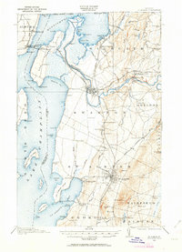
St Albans serves as a major rail and commercial hub on the eastern shores of Lake Champlain in this 1914 survey. The city is defined by its complex rail infrastructure, including the Central Vermont and the St J and L C RR, which supported the region’s agricultural and dairy economy. Further north, the Missisquoi River snakes toward the Canadian border, passing through industrial nodes like Swanton and Highgate Falls, while the shoreline is dotted with early 20th-century recreational sites such as Kamp Kill Kare and the Lake View House.
Find a feature on this map
98 named features on this map. Tap any name to fly to it.
Don’t see what you’re looking for? This feature index may not catch every label — zoom into the map to look around manually.
Map Details
Editions of this 1914 St. Albans Map
2 editions found
Other maps of this area

1894 · Plattsburg
USGS Topo · 1:62,500

1895 · Rouse Point
USGS Topo · 1:62,500

1906 · Plattsburg
USGS Topo · 1:62,500

1907 · Rouse Point
USGS Topo · 1:62,500

1913 · Milton
USGS Topo · 1:48,000

1915 · Milton
USGS Topo · 1:62,500

1916 · St. Albans
USGS Topo · 1:62,500

1920 · Franklin Pond
USGS Topo · 1:62,500

1922 · Enosburg Falls
USGS Topo · 1:48,000

1924 · Enosburg Falls
USGS Topo · 1:62,500