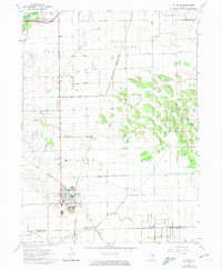
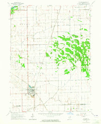
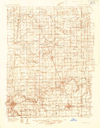
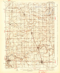
1964 Map of St. Anne
USGS Topo · Published 1974About this map
St Anne serves as the primary hub of this eastern Illinois landscape, situated at the junction of the Penn Central and the Chicago Louisville and Eastern Illinois Nashville railroads. The rail-centric development of the mid-1960s is evident in the cluster of industry near the town center, including the nearby claypits and pit operations. To the north, the small settlement of Wichert is anchored by its local landmark, Wichert Ch, while the surrounding prairie is divided into numerous townships including Ganeer and Pembroke.
Find a feature on this map
27 named features on this map. Tap any name to fly to it.
Don’t see what you’re looking for? This feature index may not catch every label — zoom into the map to look around manually.
Map Details
Editions of this 1964 St. Anne Map
2 editions found
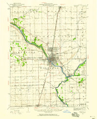
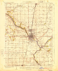
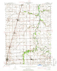
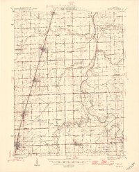
Other maps of this area

1922 · Momence
USGS Topo · 1:62,500
1922 · Kankakee
USGS Topo · 1:62,500

1924 · Momence
USGS Topo · 1:62,500
1924 · Kankakee
USGS Topo · 1:62,500
1935 · Watseka
USGS Topo · 1:48,000
1939 · Watseka
USGS Topo · 1:62,500
1944 · Gilman
USGS Topo · 1:62,500
1946 · Gilman
USGS Topo · 1:62,500

1953 · Chicago
USGS Topo · 1:250,000

1953 · Danville
USGS Topo · 1:250,000