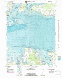
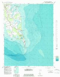
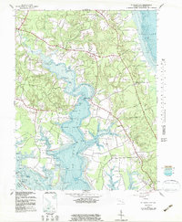
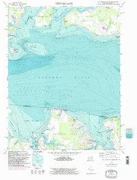
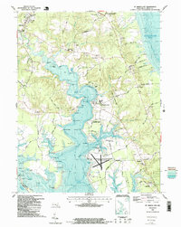
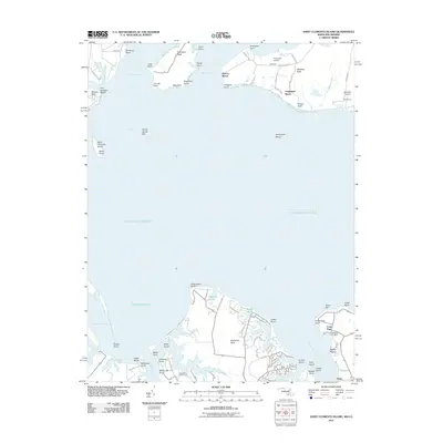
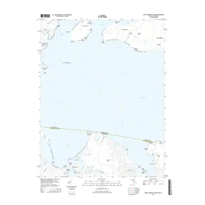
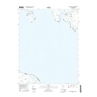
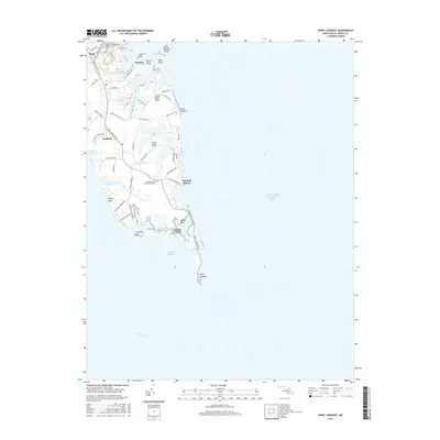
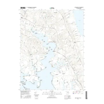
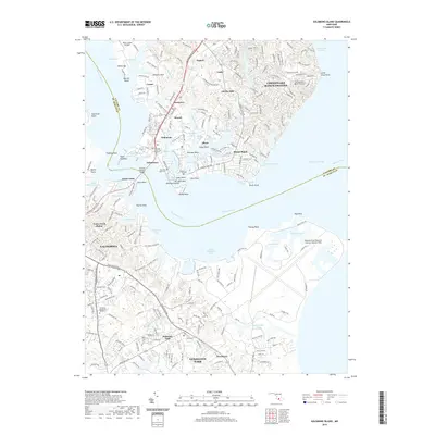
1968 Map of St. Clements Island
USGS Topo · Published 1983About this map
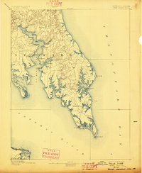
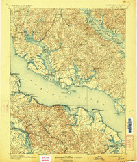
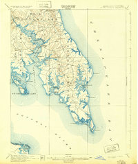
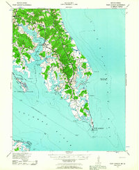
The Potomac River defines the state boundary between Maryland and Virginia in this mid-century coastal survey. On the Maryland side, the prominent landmass of Newtown Neck separates St Clements Bay and Breton Bay, while the landmark St Clements Island sits offshore near Coltons Point, marked by the commemorative Stone Cross. This perspective provides an detailed view of the shoreline and bathymetric depths of the river before modern development intensified. Across the water in Virginia, the landscape of Machodoc Neck is segmented by tidal inlets such as Nomini Bay and Lower Machodoc Creek. The map documents established waterfront communities including Breton Beach, Glebe Harbor, and Coles Point, the latter featuring the Coles Point Cem.
Find a feature on this map
61 named features on this map. Tap any name to fly to it.
Don’t see what you’re looking for? This feature index may not catch every label — zoom into the map to look around manually.
Map Details
Editions of this 1968 St. Clements Island Map
5 editions found
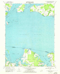
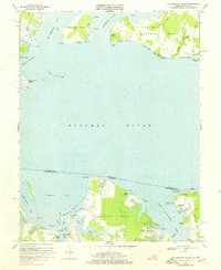
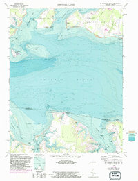
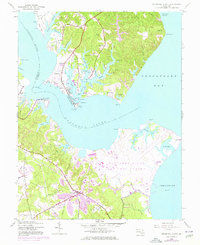
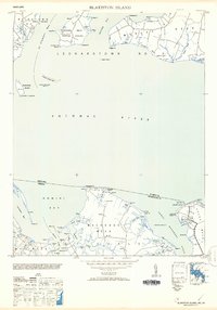
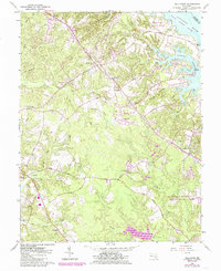
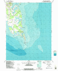
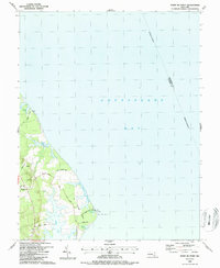
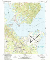
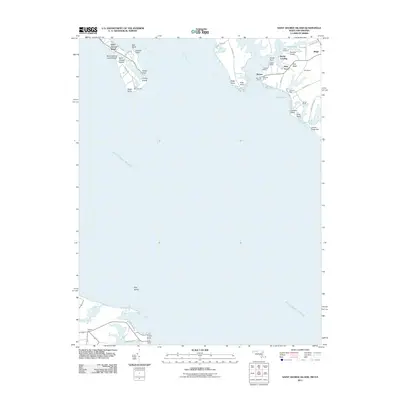
Historical Maps of Coles Point Through Time
53 maps found
1894 Point Lookout
St. Mary's County, MD

1895 Nomini
St. Mary's County, MD
1898 Nomini
St. Mary's County, MD
1912 Point Lookout
St. Mary's County, MD
1937 Point Lookout
St. Mary's County, MD
1942 Point Lookout
St. Mary's County, MD
1943 Blakiston Island
St. Mary's County, MD
1943 Point Lookout
St. Mary's County, MD
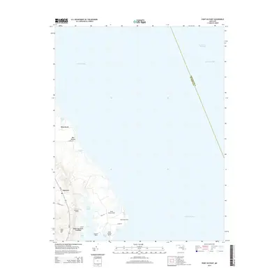
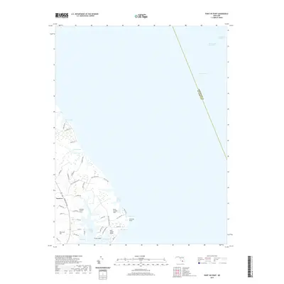
1943 Point No Point
St. Mary's County, MD
1943 St. Marys City
St. Mary's County, MD
1944 Solomons Island
St. Mary's County, MD
1953 Blakiston Island
St. Mary's County, MD
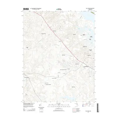
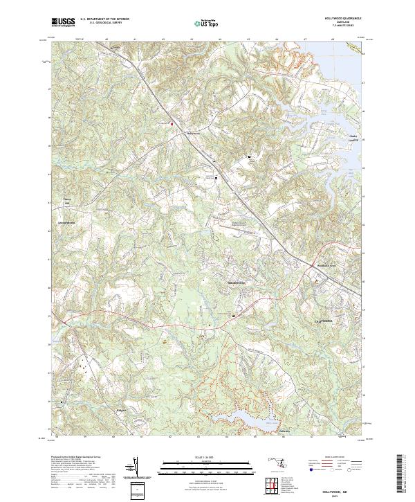
1963 Hollywood
St. Mary's County, MD
1968 St. Clements Island
St. Mary's County, MD
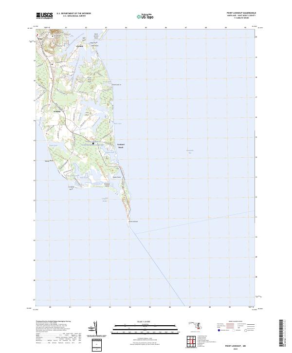
1987 Point Lookout
St. Mary's County, MD
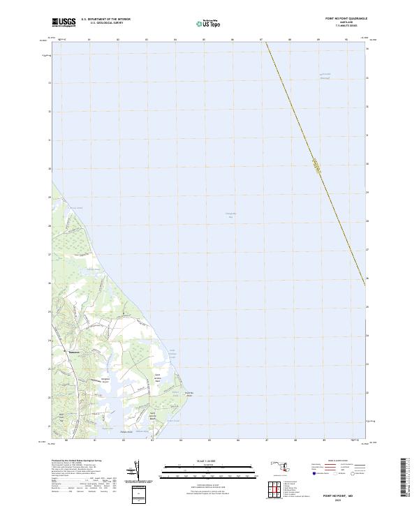
1987 Point No Point
St. Mary's County, MD
1987 Solomons Island
St. Mary's County, MD
1987 St. Marys City
St. Mary's County, MD
2011 Hollywood
St. Mary's County, MD
2011 Point Lookout
St. Mary's County, MD
2011 Point No Point
St. Mary's County, MD
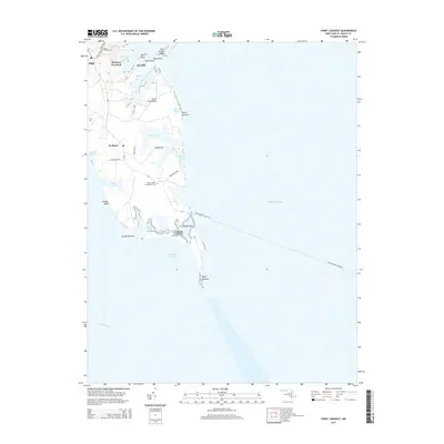
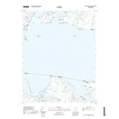
2011 Saint Clements Island
St. Mary's County, MD
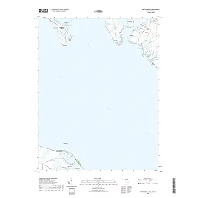
2011 Saint George Island
St. Mary's County, MD
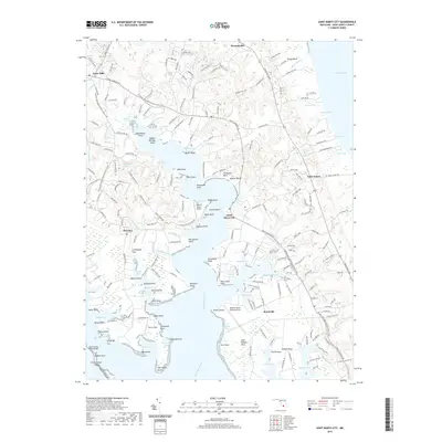
2011 Saint Marys City
St. Mary's County, MD
2011 Solomons Island
St. Mary's County, MD
2014 Hollywood
St. Mary's County, MD
2014 Point Lookout
St. Mary's County, MD
2014 Point No Point
St. Mary's County, MD
2014 Saint Clements Island
St. Mary's County, MD
2014 Saint George Island
St. Mary's County, MD
2014 Saint Marys City
St. Mary's County, MD
2014 Solomons Island
St. Mary's County, MD
2016 Hollywood
St. Mary's County, MD
2016 Point Lookout
St. Mary's County, MD
2016 Point No Point
St. Mary's County, MD
2016 Saint Clements Island
St. Mary's County, MD
2016 Saint George Island
St. Mary's County, MD
2016 Saint Marys City
St. Mary's County, MD
2016 Solomons Island
St. Mary's County, MD
2019 Hollywood
St. Mary's County, MD
2019 Point Lookout
St. Mary's County, MD
2019 Point No Point
St. Mary's County, MD
2019 Saint Clements Island
St. Mary's County, MD
2019 Saint George Island
St. Mary's County, MD
2019 Saint Marys City
St. Mary's County, MD
2019 Solomons Island
St. Mary's County, MD
2023 Hollywood
St. Mary's County, MD
2023 Point Lookout
St. Mary's County, MD
2023 Point No Point
St. Mary's County, MD
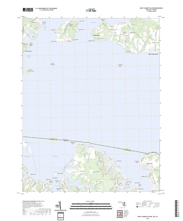
2023 Saint Clements Island
St. Mary's County, MD
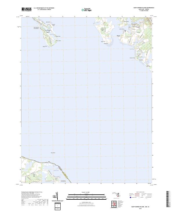
2023 Saint George Island
St. Mary's County, MD
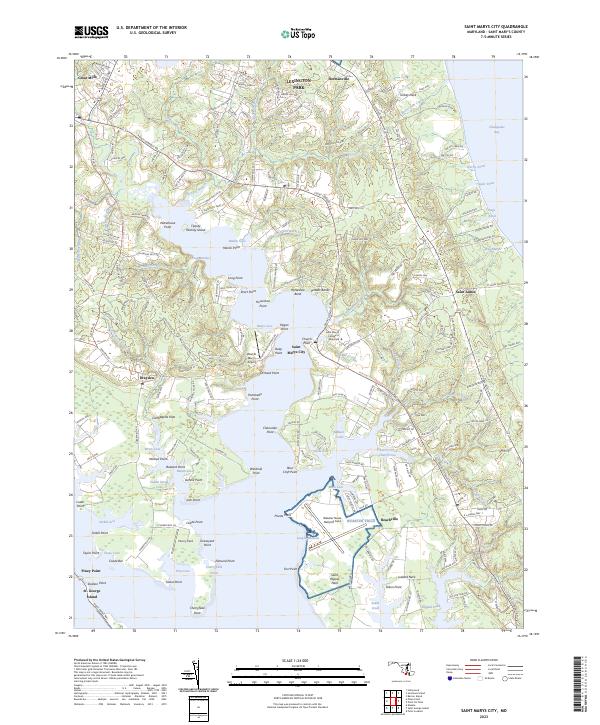
2023 Saint Marys City
St. Mary's County, MD
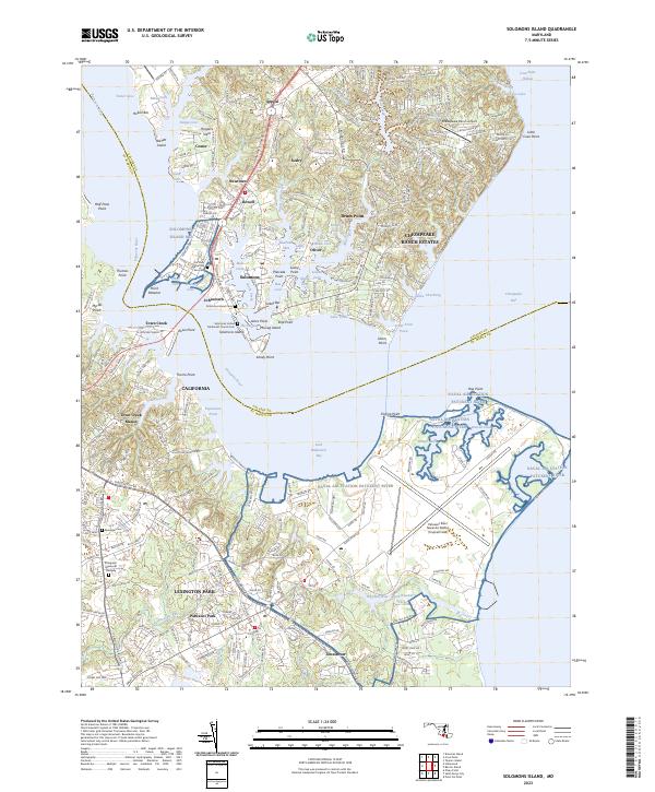
2023 Solomons Island
St. Mary's County, MD