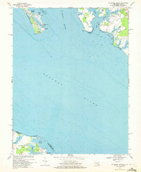
1968 Map of St. George Island
USGS Topo · Published 1972About this map
St George Island sits at the confluence of the Potomac River and the St Marys River, serving as a critical maritime landmark where Maryland meets Virginia. This late 1960s survey captures the intricate shoreline of St Inigoes Neck and Jutland Neck, where the local economy and lifestyle revolve around protected harbors like Smith Creek and Jutland Creek. Along the coastal reach of St George Island Beach, Camp Merryelande and several Light stations indicate a landscape defined by seasonal recreation and navigational necessity.
Find a feature on this map
45 named features on this map. Tap any name to fly to it.
Don’t see what you’re looking for? This feature index may not catch every label — zoom into the map to look around manually.
Map Details
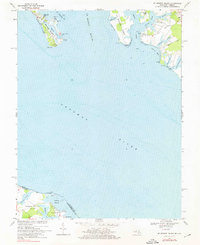
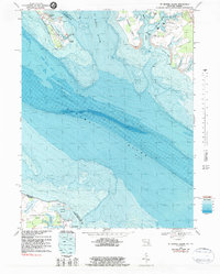
Editions of this 1968 St. George Island Map
3 editions found
Other maps of this area

1892 · Piney Point
USGS Topo · 1:62,500

1894 · Piney Point
USGS Topo · 1:62,500

1894 · Point Lookout
USGS Topo · 1:62,500

1895 · Nomini
USGS Topo · 1:125,000

1895 · Piney Point
USGS Topo · 1:62,500

1898 · Nomini
USGS Topo · 1:125,000

1898 · St. Marys
USGS Topo · 1:125,000

1901 · Piney Point
USGS Topo · 1:62,500

1906 · St. Marys
USGS Topo · 1:125,000

1912 · Point Lookout
USGS Topo · 1:62,500