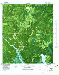
1982 Map of St. Marks
USGS Topo · Published 1983About this map
The confluence of the Wakulla River and the St Marks River defines this coastal landscape in the early 1980s, where the historic settlement of St Marks sits at the water's edge. This orthophotomap provides a rare hybrid view of the era's vegetation and human development, showing the transition from the upland woods near Wakulla to the marshy expanse of the St Marks National Wildlife Refuge.
Find a feature on this map
47 named features on this map. Tap any name to fly to it.
Don’t see what you’re looking for? This feature index may not catch every label — zoom into the map to look around manually.
Map Details
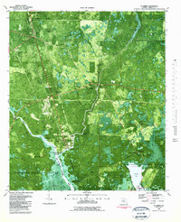
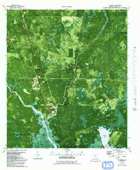
Editions of this 1982 St. Marks Map
3 editions found
Other maps of this area

1940 · Tallahassee
USGS Topo · 1:62,500

1940 · Arran
USGS Topo · 1:62,500

1942 · Tallahassee
USGS Topo · 1:62,500

1943 · Arran
USGS Topo · 1:62,500

1943 · Tallahassee
USGS Topo · 1:62,500

1954 · Sprague Island
USGS Topo · 1:24,000

1954 · Cody
USGS Topo · 1:24,000

1954 · Woodville
USGS Topo · 1:24,000

1954 · St. Marks NE
USGS Topo · 1:24,000

1954 · St. Marks
USGS Topo · 1:24,000