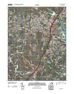
2010 Map of Stafford
USGS Topo · Published 2010About this map
Aquia Creek and its many tributaries, including Austin Run and Accokeek Creek, carve through this coastal plain landscape as it transition from rural woods to suburban density. The area is marked by a deep genealogical footprint, evidenced by numerous burial grounds such as Mount Ararat Cemetery, Stafford Memorial Gardens Cemetery, and the Regester Chapel Cemetery. These sites are interspersed among a dense network of residential subdivisions like Cherry Hill Estates, Garrisonville Estates, and Meadowood Village.
Find a feature on this map
200 named features on this map. Tap any name to fly to it.
Don’t see what you’re looking for? This feature index may not catch every label — zoom into the map to look around manually.
Map Details
Editions of this 2010 Stafford Map
This is the sole edition of this map. No revisions or reprints were ever made.
Other maps of this area

1887 · Spottsylvania
USGS Topo · 1:125,000

1889 · Fredericksburg
USGS Topo · 1:125,000

1890 · Mt. Vernon
USGS Topo · 1:125,000

1891 · Mt. Vernon
USGS Topo · 1:125,000

1892 · Fredericksburg
USGS Topo · 1:125,000

1892 · Spottsylvania
USGS Topo · 1:125,000

1894 · Warrenton
USGS Topo · 1:125,000

1894 · Fredericksburg
USGS Topo · 1:125,000

1894 · Mt. Vernon
USGS Topo · 1:125,000

1897 · Mt. Vernon
USGS Topo · 1:125,000