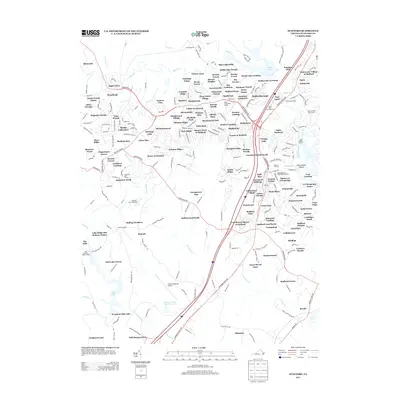
2013 Map of Stafford
USGS Topo · Published 2013About this map
Aquia Creek and its many branches, including Austin Run and Accokeek Creek, define the residential landscape of northern Virginia in the early 21st century. This area shows significant suburban development characterized by named subdivisions such as Heritage Oaks, Meadowwood Village, and Autumn Ridge. In contrast to these modern residential pockets, land near Quantico Marine Corps Base and the Stafford Regional Airport preserves more open space and utility infrastructure. Historic transportation routes like Jefferson Davis Highway and Courthouse Road link these communities together. Unique landmarks like Government Island and the Crucifix Monument highlight the region's long-standing cultural and geographic importance. Aviation and recreation also shape the land, evidenced by the Flying T Farm Airport and Abel Reservoir Boat Landing on Abel Lake.
Find a feature on this map
143 named features on this map. Tap any name to fly to it.
Don’t see what you’re looking for? This feature index may not catch every label — zoom into the map to look around manually.
Map Details
Editions of this 2013 Stafford Map
This is the sole edition of this map. No revisions or reprints were ever made.
Other maps of this area

1887 · Spottsylvania
USGS Topo · 1:125,000

1889 · Fredericksburg
USGS Topo · 1:125,000

1890 · Mt. Vernon
USGS Topo · 1:125,000

1891 · Mt. Vernon
USGS Topo · 1:125,000

1892 · Fredericksburg
USGS Topo · 1:125,000

1892 · Spottsylvania
USGS Topo · 1:125,000

1894 · Warrenton
USGS Topo · 1:125,000

1894 · Fredericksburg
USGS Topo · 1:125,000

1894 · Mt. Vernon
USGS Topo · 1:125,000

1897 · Mt. Vernon
USGS Topo · 1:125,000