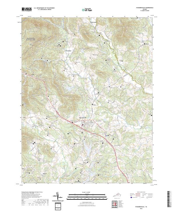
2022 Map of Stanardsville
USGS Topo · Published 2022About this map
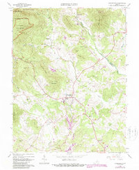
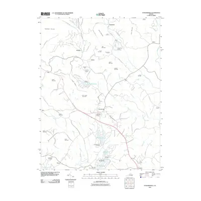
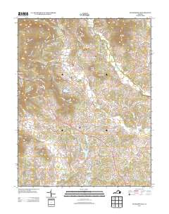
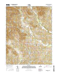
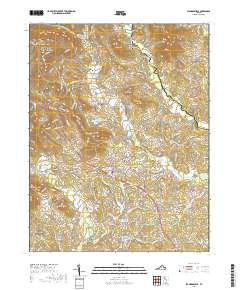
Stanardsville serves as the focal point of this Greene County landscape, where the historic Greene County Courthouse and the Confederate Graveyard anchor the town's central corridor. The area is characterized by a dense concentration of family burial grounds, such as the John Sims Family Cem and Teel Family Cem, reflecting generations of private land ownership in the Virginia Piedmont. To the northwest, the terrain rises sharply into the eastern reaches of Shenandoah National Park, dominated by peaks like Saddleback Mtn and Barnet Mtn.
Find a feature on this map
204 named features on this map. Tap any name to fly to it.
Don’t see what you’re looking for? This feature index may not catch every label — zoom into the map to look around manually.
Map Details
Editions of this 2022 Stanardsville Map
This is the sole edition of this map. No revisions or reprints were ever made.
Historical Maps of Stanardsville Through Time
7 maps found