
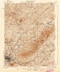
1939 Map of Charlottesville
USGS Topo · Published 1939About this map
The Southwest Mountains anchor this 1930s landscape, providing a dramatic backdrop to the historic estates and evolving infrastructure of Albemarle County. Thomas Jefferson's legacy is central to the sheet, with Monticello prominently featured overlooking the Rivanna River and the Chesapeake and Ohio railroad corridor. The map captures the region before mid-century modernization, showing a dense network of rural landmarks such as the Albemarle Training Sch and the Rosenwald Sch, reflecting the era's segregated educational landscape.
Find a feature on this map
94 named features on this map. Tap any name to fly to it.
Don’t see what you’re looking for? This feature index may not catch every label — zoom into the map to look around manually.
Map Details
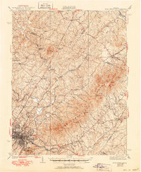
Editions of this 1939 Charlottesville Map
3 editions found
Other maps of this area

1891 · Palmyra
USGS Topo · 1:125,000

1892 · Buckingham
USGS Topo · 1:125,000

1892 · Gordonsville
USGS Topo · 1:125,000

1892 · Harrisonburg
USGS Topo · 1:125,000

1895 · Palmyra
USGS Topo · 1:125,000

1897 · Palmyra
USGS Topo · 1:125,000

1929 · Covesville
USGS Topo · 1:62,500

1930 · Madison
USGS Topo · 1:48,000

1931 · University
USGS Topo · 1:62,500

1933 · Madison
USGS Topo · 1:62,500