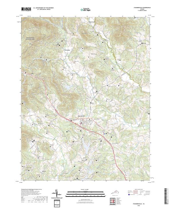
1977 Map of Stanardsville
USGS Topo · Published 1981About this map
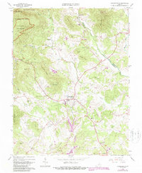
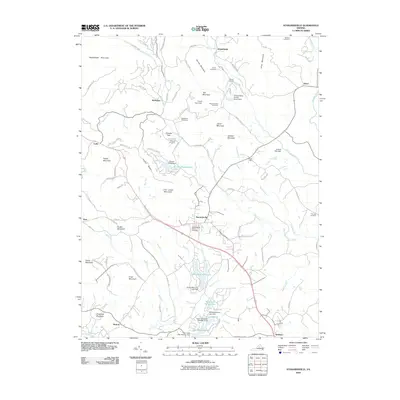
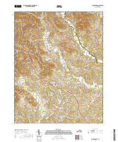
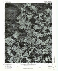
Stanardsville serves as the focal point of this orthophotoquad, which utilizes 1977 aerial imagery to reveal the complex interplay of agricultural clearings and dense forest cover in this Virginia landscape. The town sits at a crossroads where the terrain begins to transition toward the foothills, with the clearing patterns reflecting the local reliance on the valleys formed by watercourses. To the north, Mc Mullen and Hood mark smaller hubs of activity near the Conway River and Rapidan River, which carve distinct paths through the wooded hills.
Find a feature on this map
11 named features on this map. Tap any name to fly to it.
Don’t see what you’re looking for? This feature index may not catch every label — zoom into the map to look around manually.
Map Details
Editions of this 1977 Stanardsville Map
This is the sole edition of this map. No revisions or reprints were ever made.
Historical Maps of Stanardsville Through Time
7 maps found