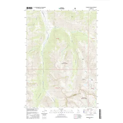
2017 Map of Standhope Peak
USGS Topo · Published 2017About this map
Standhope Peak and Pioneer Mtn dominate this high-elevation terrain along the border of the Challis National Forest and Sawtooth National Forest. This section of Idaho's wilderness is defined by a series of high basins containing alpine waters such as Moose Lake, Angel Lake, and Baptie Lake. The map reveals the intricate drainage patterns where Fall Creek and Wildhorse Creek gather from several smaller tributaries, including Burnt Aspen Creek and Left Fork Fall Creek.
Find a feature on this map
40 named features on this map. Tap any name to fly to it.
Don’t see what you’re looking for? This feature index may not catch every label — zoom into the map to look around manually.
Map Details
Editions of this 2017 Standhope Peak Map
This is the sole edition of this map. No revisions or reprints were ever made.
Other maps of this area

1895 · Hailey
USGS Topo · 1:125,000

1897 · Hailey
USGS Topo · 1:125,000

1935 · MacKay
USGS Topo · 1:96,000

1955 · Idaho Falls
USGS Topo · 1:250,000

1955 · Hailey
USGS Topo · 1:250,000

1958 · Idaho Falls
USGS Topo · 1:250,000

1959 · Hailey
USGS Topo · 1:250,000

1960 · Muldoon Canyon
USGS Topo · 1:62,500

1960 · Copper Basin
USGS Topo · 1:62,500

1962 · Hailey
USGS Topo · 1:250,000