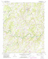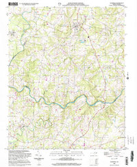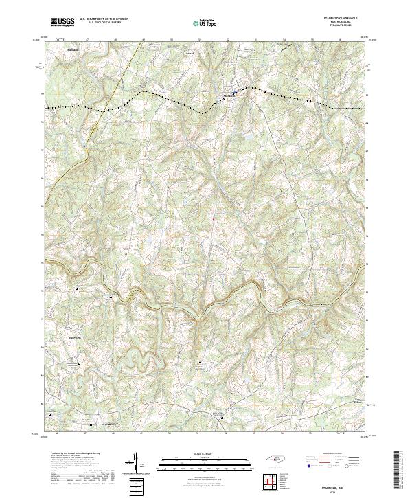
2022 Map of Stanfield
USGS Topo · Published 2022About this map
Rocky River and its numerous tributaries, including Rock Hole Cr and Crooked Creek, carve through this section of the North Carolina Piedmont where the borders of Cabarrus, Stanly, and Union counties meet. The settlement pattern is defined by several crossroads communities including Stanfield, Locust, Midland, and Fairview. For those tracing local families, the landscape is dotted with ancestral sites such as the Austin Family Cem, Biggers Cem, and several church-affiliated burial grounds like Antioch Methodist Church Cem and Longs Grove Church Cem. Small private airstrips like Mc Gee Field and Tucker Field reflect the rural aviation character of the region. The map also captures the transition from historic water crossings to modern transit, with several roads still bearing names like Old Ferry Rd, Old Fish Rd, and Polk Ford Rd, indicating former vital river access points.
Find a feature on this map
101 named features on this map. Tap any name to fly to it.
Don’t see what you’re looking for? This feature index may not catch every label — zoom into the map to look around manually.
Map Details
Editions of this 2022 Stanfield Map
This is the sole edition of this map. No revisions or reprints were ever made.
Historical Maps of Fairview Through Time
3 maps found