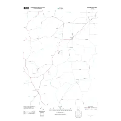
2013 Map of Stanford
USGS Topo · Published 2013About this map
The small communities of Cincinnati and Stanford anchor this rural landscape in Greene County as it appeared in the early 21st century. The terrain is defined by a dense network of watercourses, including Beech Cr and Indian Cr, which cut through the hills and valleys of southern Indiana. To the north, the settlement of Elwren sits near the headwaters of Little Richland Cr, while Buenavista occupies the eastern portion of the map along Little Indian Cr.
Find a feature on this map
81 named features on this map. Tap any name to fly to it.
Don’t see what you’re looking for? This feature index may not catch every label — zoom into the map to look around manually.
Map Details
Editions of this 2013 Stanford Map
This is the sole edition of this map. No revisions or reprints were ever made.
Other maps of this area

1908 · Bloomington
USGS Topo · 1:48,000

1908 · Bloomfield
USGS Topo · 1:62,500

1910 · Bloomington
USGS Topo · 1:62,500

1935 · Oolitic
USGS Topo · 1:48,000

1942 · Oolitic
USGS Topo · 1:62,500

1953 · Indianapolis
USGS Topo · 1:250,000

1956 · Indianapolis
USGS Topo · 1:250,000
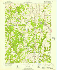
1956 · Clear Creek
USGS Topo · 1:24,000

1956 · Freedom
USGS Topo · 1:24,000
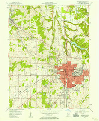
1956 · Bloomington
USGS Topo · 1:24,000