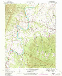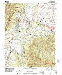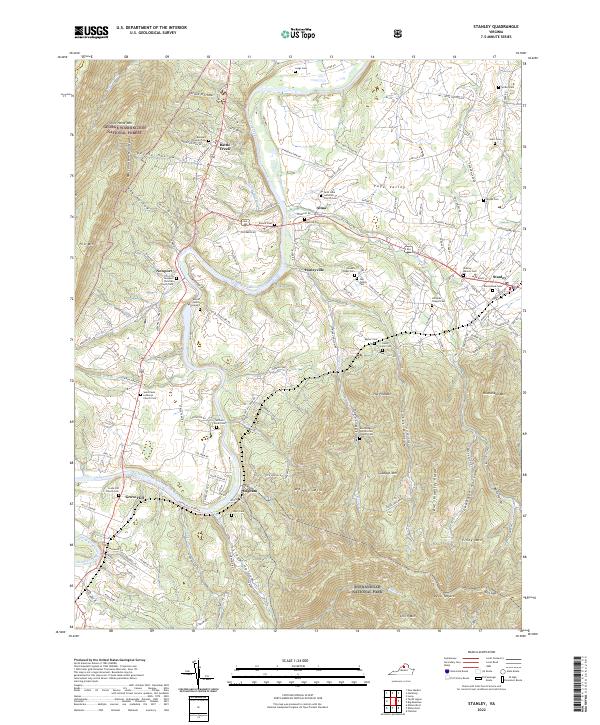
2022 Map of Stanley
USGS Topo · Published 2022About this map
The South Fork Shenandoah River winds through the heart of Page Valley, defining a landscape where rural hamlets and family-named landmarks cluster between high mountain ridges. This 2022 topographical study illustrates the dense network of local roads and cemeteries that anchor communities like Stanley, Honeyville, and Ingham. The terrain rises sharply to the west toward Massanutten Mountain and the George Washington National Forest, while the eastern flank ascends into Shenandoah National Park at Smith Mtn.
Find a feature on this map
107 named features on this map. Tap any name to fly to it.
Don’t see what you’re looking for? This feature index may not catch every label — zoom into the map to look around manually.
Map Details
Editions of this 2022 Stanley Map
This is the sole edition of this map. No revisions or reprints were ever made.