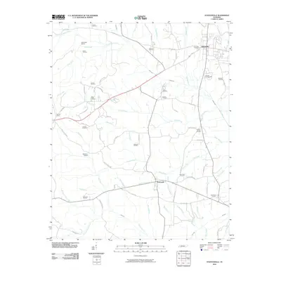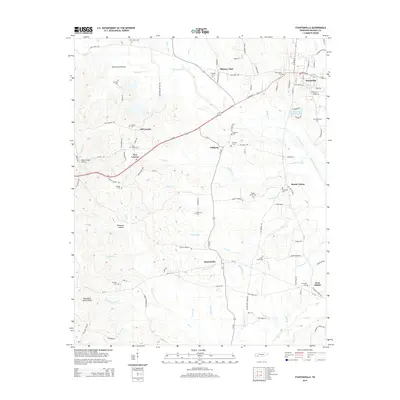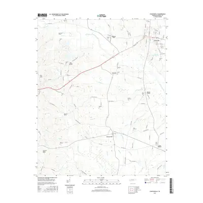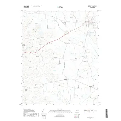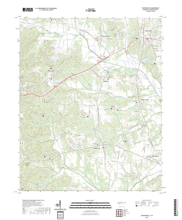
2022 Map of Stantonville
USGS Topo · Published 2022About this map
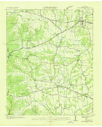
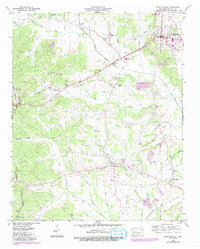
Stantonville and the surrounding Tennessee landscape sit perched along the Tennessee Valley Divide, where numerous creeks and branches begin their descent toward the river system. This modern 2022 survey captures a rural McNairy County character defined by family-named landmarks and a dense network of country cemeteries, including the Stantonville Cem and Mount Zion Cem. The terrain is marked by distinct valleys like Bateman Hollow and Dutchman Hollow, while the Snake Creek Canal and Snake Cr Canal channel water through the lowlands.
Find a feature on this map
130 named features on this map. Tap any name to fly to it.
Don’t see what you’re looking for? This feature index may not catch every label — zoom into the map to look around manually.
Map Details
Editions of this 2022 Stantonville Map
This is the sole edition of this map. No revisions or reprints were ever made.
Historical Maps of Adamsville Through Time
7 maps found