2022 Map of Stanwood
USGS Topo · Published 2022About this map
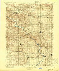
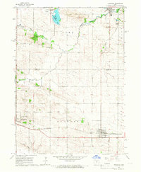
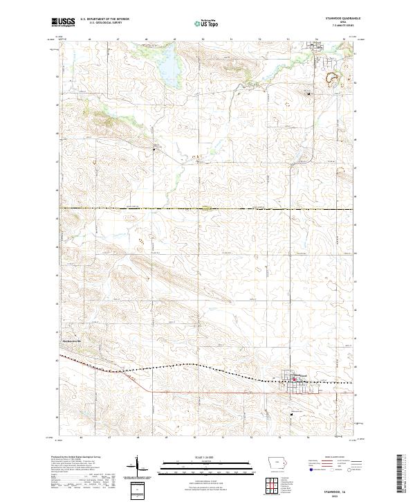
The boundary between Jones Co and Cedar Co defines this Iowa landscape, where agricultural grids intersect with the winding paths of Walnut Cr and Rock Cr. The settlement of Stanwood serves as a focal point at the junction of several section-line roads, while Mechanicsville occupies the western edge of the quadrangle. For those researching local lineages, three distinct burial grounds are documented: Walnut Grove Cem in the north-central area, Olin Cem near the northern border, and Stanwood Cem to the south. This terrain is characterized by a dense network of gravel and paved roads, including Co Hwy E63 and Cedar Jones Rd, which connect the rural farmsteads that have sustained this region for generations. The inclusion of smaller waterways like Sibles Cr and Pioneer Cr highlights the natural drainage patterns that shaped the early development of these prairie townships.
Find a feature on this map
52 named features on this map. Tap any name to fly to it.
Don’t see what you’re looking for? This feature index may not catch every label — zoom into the map to look around manually.
Map Details
Editions of this 2022 Stanwood Map
This is the sole edition of this map. No revisions or reprints were ever made.