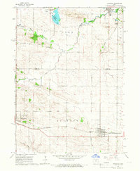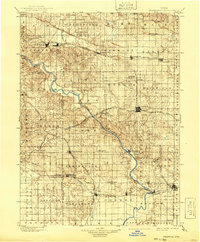
1901 Map of Stanwood
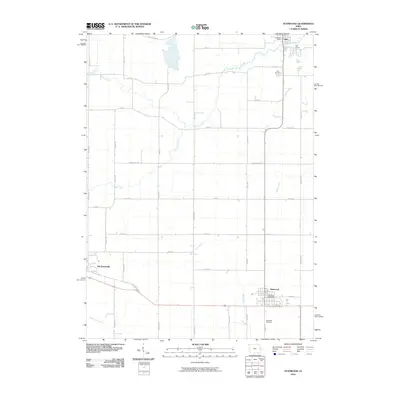
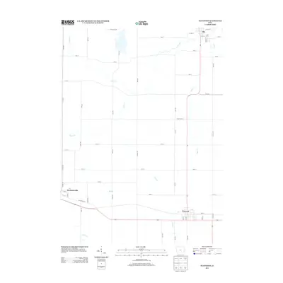
USGS Topo · Published 1941About this map
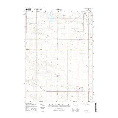
The Cedar River meanders diagonally across this late 19th-century landscape, serving as a central geographical feature for the settlements of Cedar and surrounding counties. This era reveals a high density of small railroad towns and rural hubs established along competing iron paths. The northern reach is dominated by the Chicago and Northwestern Line, connecting Mt Vernon, Lisbon, and Mechanicsville. To the south, the Chicago Rock Island and Pacific serves as the lifeline for West Liberty, Atalissa, and Wilton. A fascinating network of smaller lines, including the Davenport and Cedar Rapids Line, links the county seat of Tipton to the broader region. Local history enthusiasts can identify smaller, vanished-interest points like Lime City, Plato, and Oasis, which illustrate the peak of Iowa’s agrarian and steam-rail economy before the consolidation of the 20th century.
Find a feature on this map
75 named features on this map. Tap any name to fly to it.
Don’t see what you’re looking for? This feature index may not catch every label — zoom into the map to look around manually.
Map Details
Editions of this 1901 Stanwood Map
2 editions found

Historical Maps of Iowa City Through Time
7 maps found