2023 Map of Stanwood
USGS Topo · Published 2023About this map
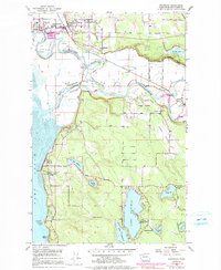
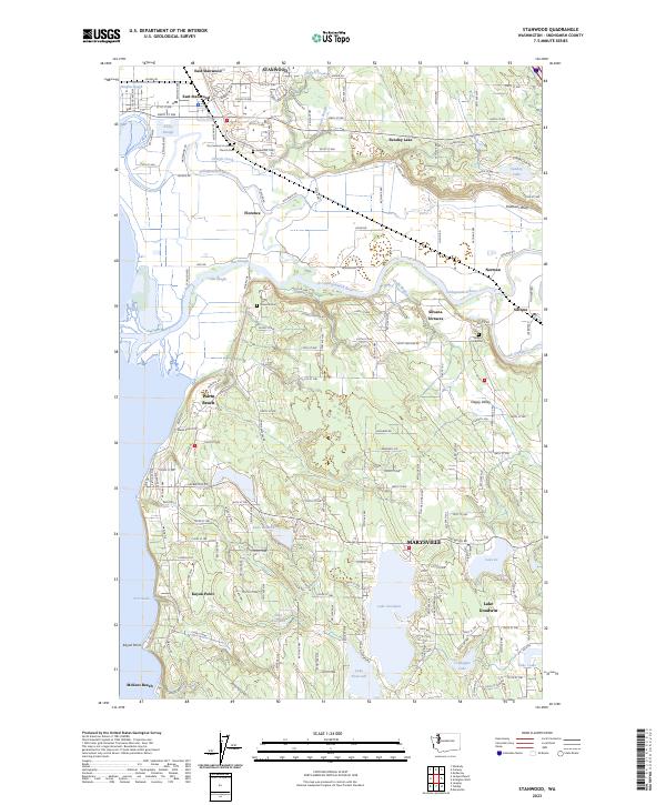
The Stillaguamish River flows through a complex network of sloughs and floodplains in this coastal Snohomish County landscape, where the settlements of Stanwood and East Stanwood anchor the northern reaches. The area is defined by its riparian geometry, with Irvine Slough, Jorgenson Slough, and Douglas Slough winding toward the tidal waters of Port Susan. To the south, a cluster of significant freshwater bodies including Lake Goodwin, Lake Shoecraft, and Lake Ki mark a transition into upland terrain near Marysville.
Find a feature on this map
98 named features on this map. Tap any name to fly to it.
Don’t see what you’re looking for? This feature index may not catch every label — zoom into the map to look around manually.
Map Details
Editions of this 2023 Stanwood Map
This is the sole edition of this map. No revisions or reprints were ever made.
Historical Maps of Florence Through Time
3 maps found