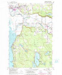
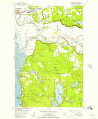
1956 Map of Stanwood
USGS Topo · Published 1991About this map
Stillaguamish River delta and the surrounding Snohomish County lowlands define this mid-century landscape. The twin communities of Stanwood and East Stanwood serve as the regional hubs, connected by the Burlington Northern railroad corridor. The area shows a transition from the agricultural floodplains near Florence and Norman to the elevated residential and recreational pockets around Lake Goodwin and Lake Shoecraft.
Find a feature on this map
57 named features on this map. Tap any name to fly to it.
Don’t see what you’re looking for? This feature index may not catch every label — zoom into the map to look around manually.
Map Details
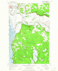
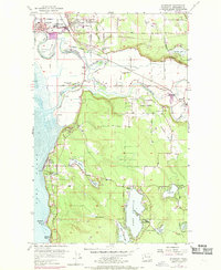
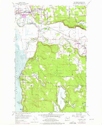
Editions of this 1956 Stanwood Map
5 editions found
Other maps of this area

1911 · Mount Vernon
USGS Topo · 1:125,000

1940 · Mt Vernon
USGS Topo · 1:62,500

1941 · Marysville
USGS Topo · 1:62,500

1943 · Marysville
USGS Topo · 1:62,500

1943 · Mt Vernon
USGS Topo · 1:62,500

1943 · Stanwood
USGS Topo · 1:62,500

1944 · Clear Lake
USGS Topo · 1:62,500

1956 · Tulalip
USGS Topo · 1:24,000

1956 · Arlington West
USGS Topo · 1:24,000
1956 · Stanwood
USGS Topo · 1:24,000