Loading...
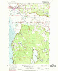
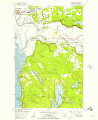
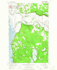
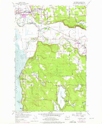
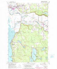
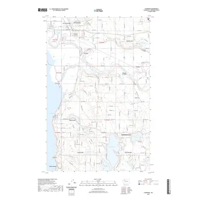
Loading map...1956 Map of Stanwood
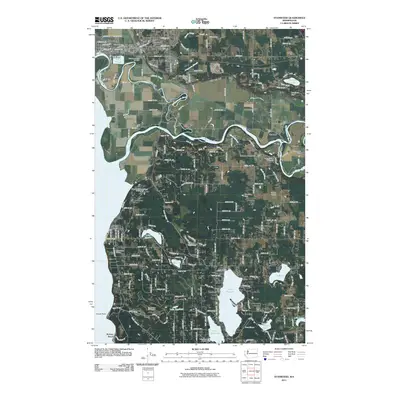
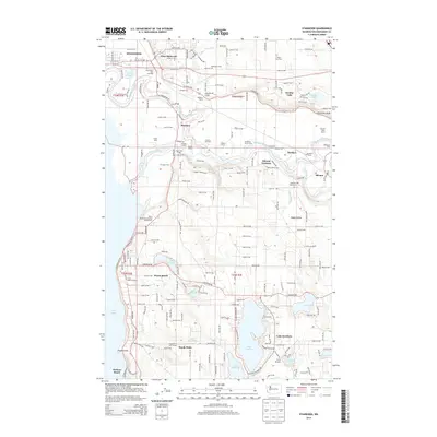
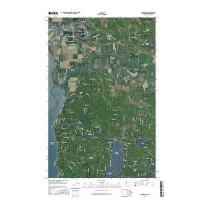
USGS Topo · Published 1969About this map
Stillaguamish River meanders through this mid-century landscape, defining the character of North Snohomish County. The map documents the distinct identities of Stanwood, East Stanwood, and Twin City High Sch, showing a region transitioning through post-war growth while maintaining its agricultural and maritime roots. To the south, the terrain rises into the Silvana Terraces and the wooded pocket of Happy Valley, while the western edge is defined by the tide-influenced waters of Port Susan and Hat Slough.
Find a feature on this map
59 named features on this map. Tap any name to fly to it.
Don’t see what you’re looking for? This feature index may not catch every label — zoom into the map to look around manually.
Map Details
Date Portrayed1956
Date Published1969
PublisherU.S. Geological Survey
Map TypeTopographic
Scale1:24,000
Physical Dimensions22 x 26.8 inches
Editions of this 1956 Stanwood Map
5 editions found
Historical Maps of Marysville Through Time
7 maps found

Featured Locations
Source Details
SourceU.S. Geological Survey
CopyrightPublic Domain