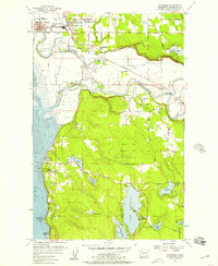
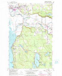
1956 Map of Stanwood
USGS Topo · Published 1957About this map
The Stillaguamish River dominates this mid-century landscape, winding through a complex network of sloughs and tide gates before reaching Port Susan. The transition from the alluvial flats of Irvine Slough to the higher elevations of Silvana Terraces and Happy Valley illustrates the varied terrain of coastal Snohomish County. Local social and educational hubs are prominently marked, including the Stillaguamish Grange, Green Wood Grange, and several schools like Twin City High Sch and Lincoln High School.
Find a feature on this map
50 named features on this map. Tap any name to fly to it.
Don’t see what you’re looking for? This feature index may not catch every label — zoom into the map to look around manually.
Map Details
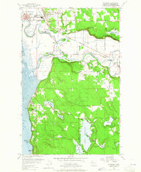
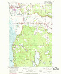
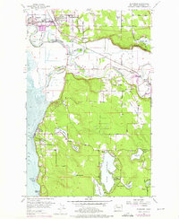
Editions of this 1956 Stanwood Map
5 editions found
Other maps of this area

1911 · Mount Vernon
USGS Topo · 1:125,000

1940 · Mt Vernon
USGS Topo · 1:62,500

1941 · Marysville
USGS Topo · 1:62,500

1943 · Marysville
USGS Topo · 1:62,500

1943 · Mt Vernon
USGS Topo · 1:62,500

1943 · Stanwood
USGS Topo · 1:62,500

1944 · Clear Lake
USGS Topo · 1:62,500

1956 · Tulalip
USGS Topo · 1:24,000

1956 · Arlington West
USGS Topo · 1:24,000
1956 · Utsalady
USGS Topo · 1:24,000