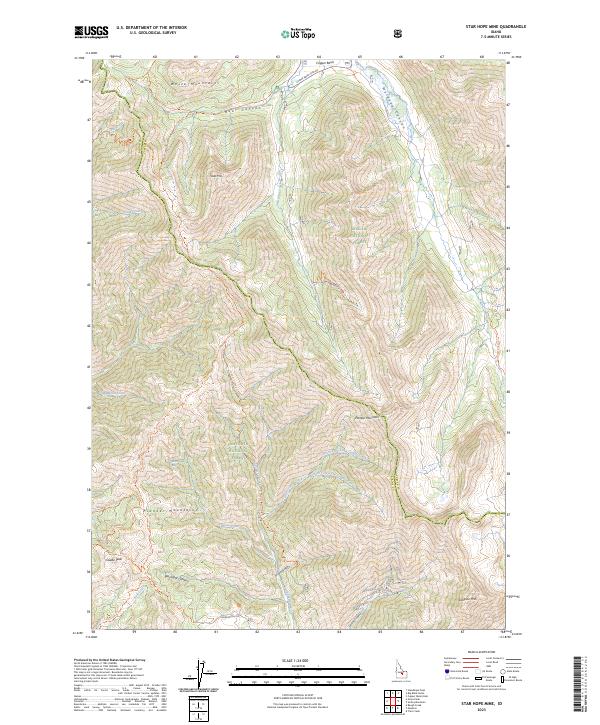
2023 Map of Star Hope Mine
USGS Topo · Published 2023About this map
The Pioneer Mountains dominate this high-elevation Idaho landscape, where the legacy of mountain mining and high-country travel is etched into the terrain. The Star Hope Gulch - Star Hope Mine Tr provides a clear link to the area's mineral prospects, leading toward the upper reaches of Star Hope Creek. This survey captures a remote stretch of the Challis National Forest and Sawtooth National Forest, divided by the high ridges of the White Mountains. To the south, Mormon Hill Rd and the Skyline Tr mark established routes through a network of canyons including Frisco Gulch and Garfield Canyon. The complex drainage patterns of Little Copper Creek and its many forks illustrate the difficult geography that defined local transport and resource extraction in Custer County.
Find a feature on this map
39 named features on this map. Tap any name to fly to it.
Don’t see what you’re looking for? This feature index may not catch every label — zoom into the map to look around manually.
Map Details
Editions of this 2023 Star Hope Mine Map
This is the sole edition of this map. No revisions or reprints were ever made.
Other maps of this area

1895 · Hailey
USGS Topo · 1:125,000

1897 · Hailey
USGS Topo · 1:125,000

1935 · MacKay
USGS Topo · 1:96,000

1955 · Idaho Falls
USGS Topo · 1:250,000

1955 · Hailey
USGS Topo · 1:250,000

1958 · Idaho Falls
USGS Topo · 1:250,000

1959 · Hailey
USGS Topo · 1:250,000

1960 · Muldoon Canyon
USGS Topo · 1:62,500

1960 · Copper Basin
USGS Topo · 1:62,500

1962 · Hailey
USGS Topo · 1:250,000