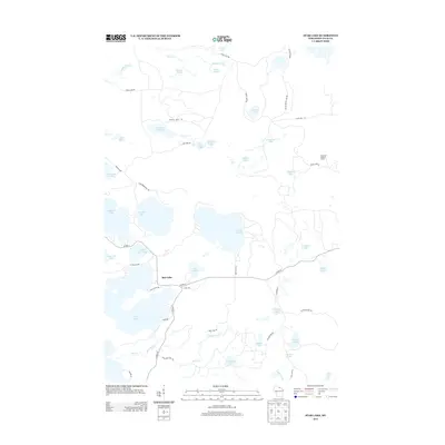
2013 Map of Star Lake
USGS Topo · Published 2013About this map
Star Lake sits at the heart of this Vilas County landscape, a region defined by its dense concentration of glacial lakes and northern Wisconsin forest. The settlement of Star Lake is positioned on a narrow peninsula between its namesake water body and Little Star Lake, reflecting a community deeply tied to the surrounding shoreline. Significant elevation and observation points are represented by the Monahan Lookout Tower in the eastern portion of the quadrangle.
Find a feature on this map
61 named features on this map. Tap any name to fly to it.
Don’t see what you’re looking for? This feature index may not catch every label — zoom into the map to look around manually.
Map Details
Editions of this 2013 Star Lake Map
This is the sole edition of this map. No revisions or reprints were ever made.
Other maps of this area
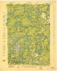
1930 · Robbins
USGS Topo · 1:48,000
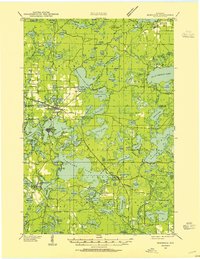
1938 · Minocqua
USGS Topo · 1:48,000
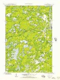
1938 · Robbins
USGS Topo · 1:48,000
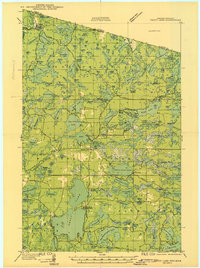
1939 · Trout Lake
USGS Topo · 1:48,000
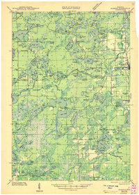
1945 · Robbins
USGS Topo · 1:48,000
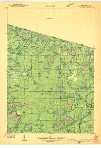
1946 · Star Lake
USGS Topo · 1:48,000
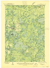
1946 · Minocqua
USGS Topo · 1:48,000
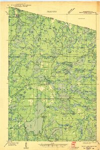
1946 · Trout Lake
USGS Topo · 1:48,000
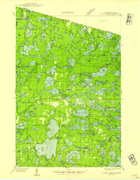
1949 · Trout Lake
USGS Topo · 1:48,000
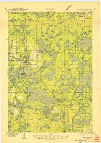
1949 · Minocqua
USGS Topo · 1:48,000