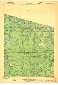
1946 Map of Star Lake
USGS Topo · Published 1946About this map
Vilas County water bodies and early timber-era infrastructure dominate this 1938 field study of the Wisconsin-Michigan border. The settlement of Star Lake anchors the southwestern portion of the sheet, connected to the wider region via the Chicago and Northwestern Line railroad. This pre-war landscape is defined by a dense network of glacial lakes including Black Oak Lake, Lac du Lune, and Mamie Lake, which straddles the state line. Vigilance against forest fires is evident through the placement of the Monahan Fire Tower and Juke Lake Fire Tower. Near the settlement of Merrill, an early Airport and various trunk highways suggest the gradual modernization of the Northwoods. The northern edge of the map transitions into a significant Unsurveyed Area in Michigan, marking the literal edge of documented terrain for the era.
Find a feature on this map
100 named features on this map. Tap any name to fly to it.
Don’t see what you’re looking for? This feature index may not catch every label — zoom into the map to look around manually.
Map Details
Editions of this 1946 Star Lake Map
This is the sole edition of this map. No revisions or reprints were ever made.
Other maps of this area
1928 · Three Lakes
USGS Topo · 1:48,000
1930 · Robbins
USGS Topo · 1:48,000
1938 · Phelps
USGS Topo · 1:48,000
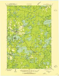
1938 · Minocqua
USGS Topo · 1:48,000
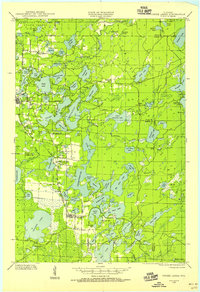
1938 · Three Lakes
USGS Topo · 1:48,000
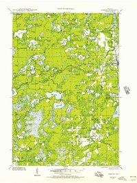
1938 · Robbins
USGS Topo · 1:48,000
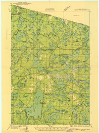
1939 · Trout Lake
USGS Topo · 1:48,000
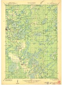
1945 · Three Lakes
USGS Topo · 1:48,000
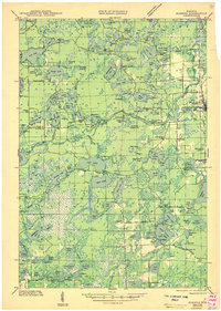
1945 · Robbins
USGS Topo · 1:48,000
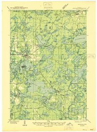
1946 · Minocqua
USGS Topo · 1:48,000