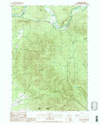
1988 Map of Stark
USGS Topo · Published 1988About this map
The Upper Ammonoosuc River carves a sharp valley through the northern Coos County wilderness, providing the primary corridor for human activity in this 1988 survey. The small settlement of Stark sits at a narrow point in the river valley, distinguished by a Covered Bridge and the towering cliffs of Devils Slide. To the south and east, the landscape rises dramatically into the high peaks of the Pilot Range and Kilkenny within the White Mountain National Forest. High summits such as Hutchins Mtn and Mt Cabot dominate the southern half of the sheet, where human presence is limited to the occasional trail or remote feature like Unknown Pond. In the lower elevations to the west, more agricultural or open-country features emerge, including the aptly named Lost Nation and a Landing Strip near Ames, illustrating the contrast between the river-bound villages and the surrounding mountain wilds.
Find a feature on this map
38 named features on this map. Tap any name to fly to it.
Don’t see what you’re looking for? This feature index may not catch every label — zoom into the map to look around manually.
Map Details
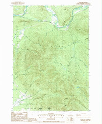
Editions of this 1988 Stark Map
2 editions found
Other maps of this area

1893 · Mt. Washington
USGS Topo · 1:62,500

1896 · Mt. Washington
USGS Topo · 1:62,500

1900 · Whitefield
USGS Topo · 1:62,500

1920 · Guildhall
USGS Topo · 1:62,500

1930 · Percy
USGS Topo · 1:62,500

1931 · Guildhall
USGS Topo · 1:48,000

1933 · Guildhall
USGS Topo · 1:48,000

1934 · Percy
USGS Topo · 1:62,500

1935 · Whitefield
USGS Topo · 1:48,000

1935 · Mt. Washington
USGS Topo · 1:62,500