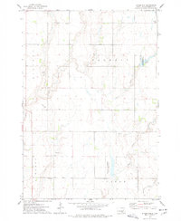
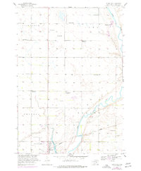
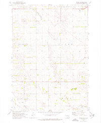
1973 Map of Staum Dam
USGS Topo · Published 1978About this map
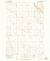
Staum Dam and its surrounding conservation lands define this Beadle County landscape during the early 1970s. The map illustrates a rural prairie environment managed for both agriculture and wildlife, notably including the Staum Dam State Public Shooting Area and a designated National Waterfowl Production Area. These public lands sit alongside the meandering paths of Shue Creek and Pearl Creek, which cut through the townships of Milford, Barrett, Liberty, and Foster.
Find a feature on this map
16 named features on this map. Tap any name to fly to it.
Don’t see what you’re looking for? This feature index may not catch every label — zoom into the map to look around manually.
Map Details
Editions of this 1973 Staum Dam Map
This is the sole edition of this map. No revisions or reprints were ever made.
Historical Maps of Shamrock Hutterite Colony Through Time
65 maps found
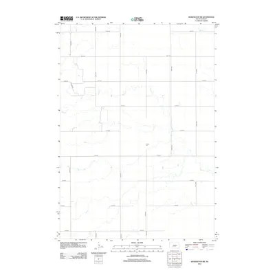
1950 Wessington NE
Beadle County, SD
1951 Wessington SE
Beadle County, SD
1951 Wessington SW
Beadle County, SD
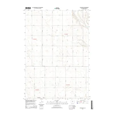
1956 Hitchcock SE
Beadle County, SD
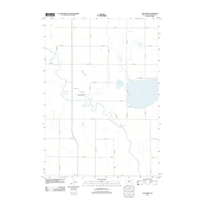
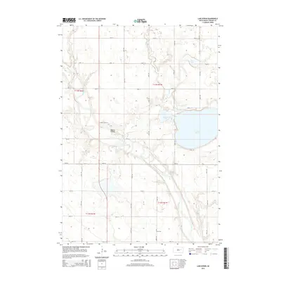
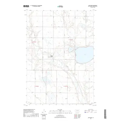
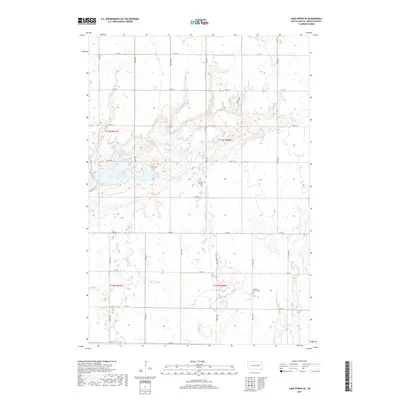
1956 Lake Byron
Beadle County, SD
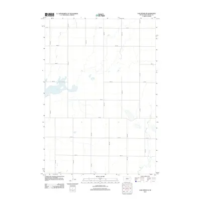
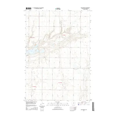
1956 Lake Byron SE
Beadle County, SD
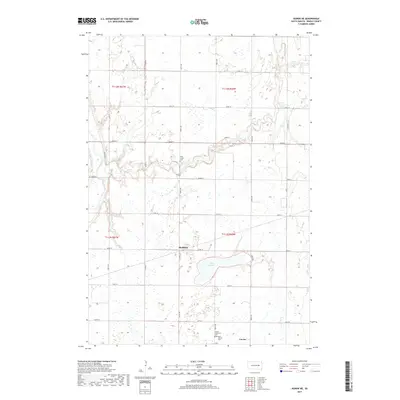
1958 Huron NE
Beadle County, SD
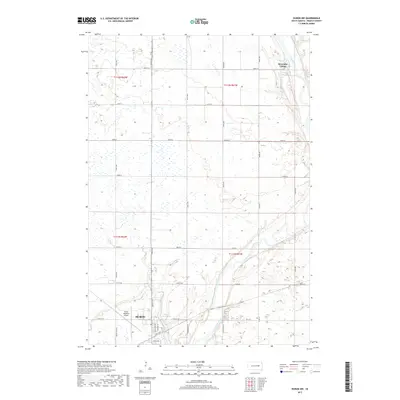
1958 Huron NW
Beadle County, SD
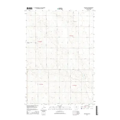
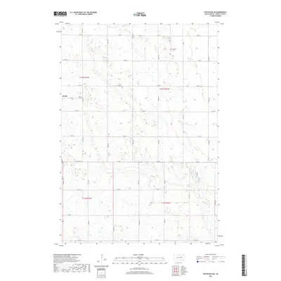
1967 Hitchcock SW
Beadle County, SD
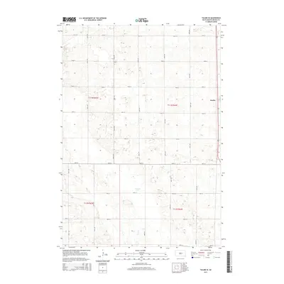
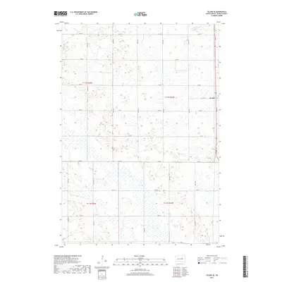
1967 Tulare SE
Beadle County, SD
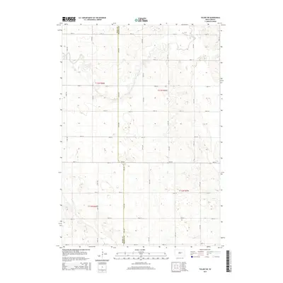
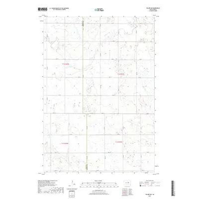
1967 Tulare SW
Beadle County, SD
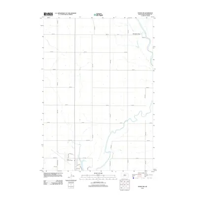
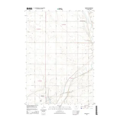
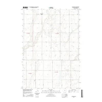
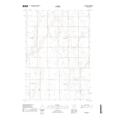
1973 Staum Dam
Beadle County, SD
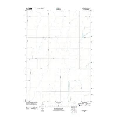
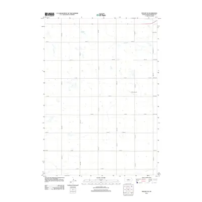
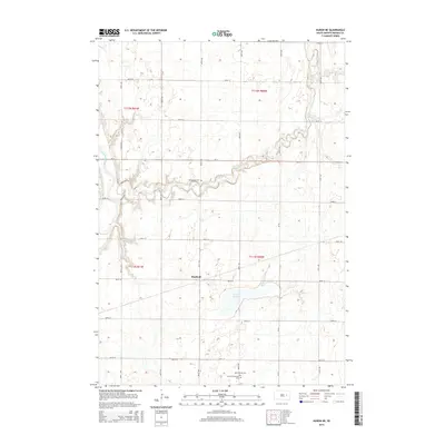
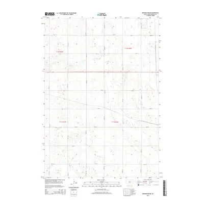
1973 Wolsey SE
Beadle County, SD
2012 Hitchcock SE
Beadle County, SD
2012 Hitchcock SW
Beadle County, SD
2012 Huron NE
Beadle County, SD
2012 Huron NW
Beadle County, SD
2012 Lake Byron
Beadle County, SD
2012 Lake Byron SE
Beadle County, SD
2012 Staum Dam
Beadle County, SD
2012 Tulare SE
Beadle County, SD
2012 Tulare SW
Beadle County, SD
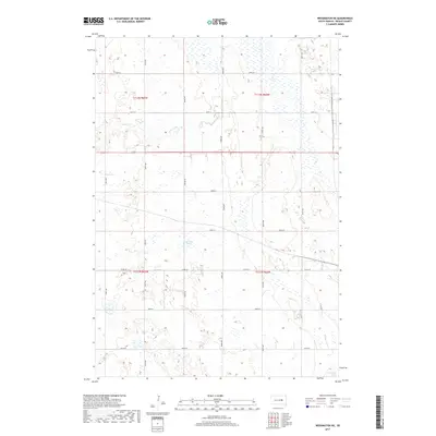
2012 Wessington NE
Beadle County, SD
2012 Wessington SE
Beadle County, SD
2012 Wessington SW
Beadle County, SD
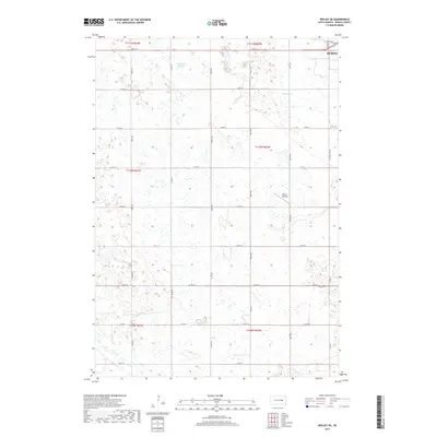
2012 Wolsey SE
Beadle County, SD
2015 Hitchcock SE
Beadle County, SD
2015 Hitchcock SW
Beadle County, SD
2015 Huron NE
Beadle County, SD
2015 Huron NW
Beadle County, SD
2015 Lake Byron
Beadle County, SD
2015 Lake Byron SE
Beadle County, SD
2015 Staum Dam
Beadle County, SD
2015 Tulare SE
Beadle County, SD
2015 Tulare SW
Beadle County, SD
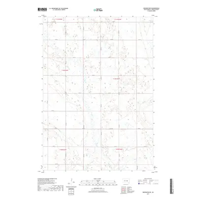
2015 Wessington NE
Beadle County, SD
2015 Wessington SE
Beadle County, SD
2015 Wessington SW
Beadle County, SD
2015 Wolsey SE
Beadle County, SD
2017 Hitchcock SE
Beadle County, SD
2017 Hitchcock SW
Beadle County, SD
2017 Huron NE
Beadle County, SD
2017 Huron NW
Beadle County, SD
2017 Lake Byron
Beadle County, SD
2017 Lake Byron SE
Beadle County, SD
2017 Staum Dam
Beadle County, SD
2017 Tulare SE
Beadle County, SD
2017 Tulare SW
Beadle County, SD
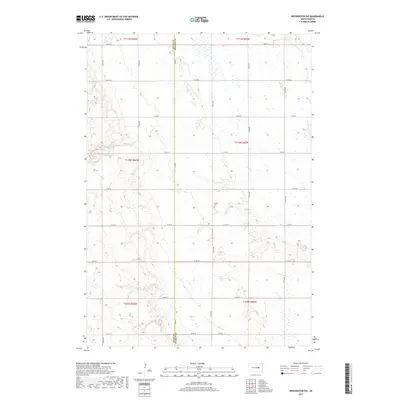
2017 Wessington NE
Beadle County, SD
2017 Wessington SE
Beadle County, SD
2017 Wessington SW
Beadle County, SD
2017 Wolsey SE
Beadle County, SD
2021 Hitchcock SE
Beadle County, SD
2021 Hitchcock SW
Beadle County, SD
2021 Huron NE
Beadle County, SD
2021 Huron NW
Beadle County, SD
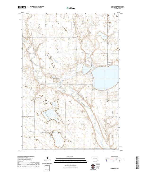
2021 Lake Byron
Beadle County, SD
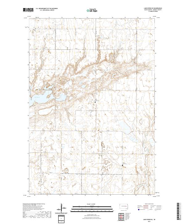
2021 Lake Byron SE
Beadle County, SD
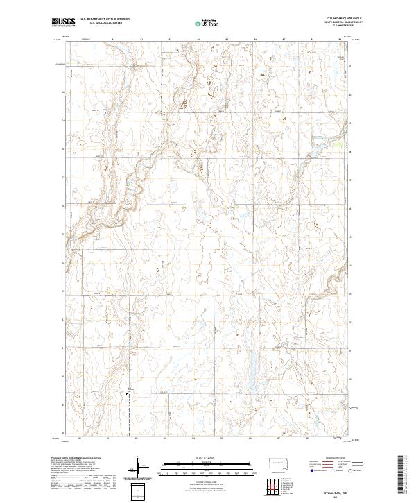
2021 Staum Dam
Beadle County, SD
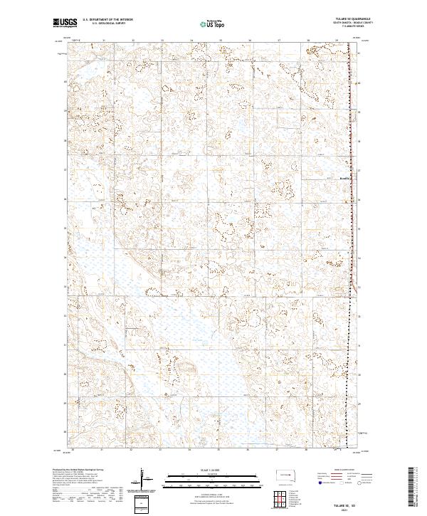
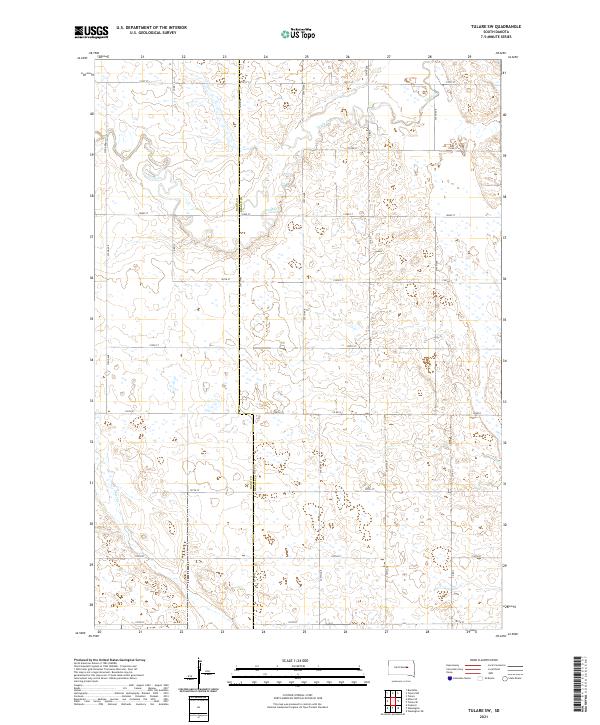
2021 Tulare SE
Beadle County, SD
2021 Tulare SW
Beadle County, SD
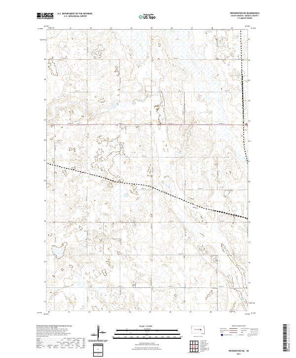
2021 Wessington NE
Beadle County, SD
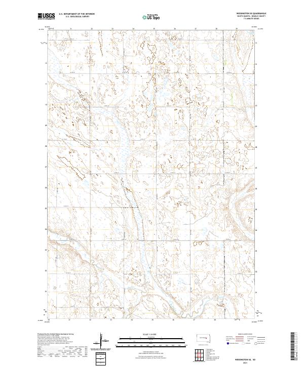
2021 Wessington SE
Beadle County, SD
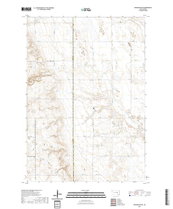
2021 Wessington SW
Beadle County, SD

2021 Wolsey SE
Beadle County, SD