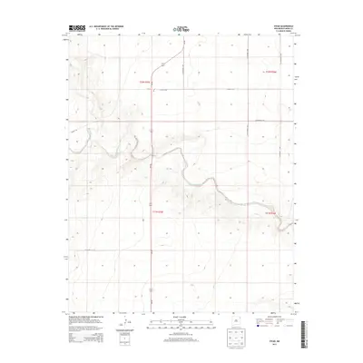
2013 Map of Stead
USGS Topo · Published 2013About this map
Stead remains a quiet outpost on the high plains of Union County, defined by the winding course of Tramperos Creek as it carves through the local topography. This 2013 survey illustrates the sparse but critical infrastructure of the region, anchored by the Post Office at Stead and the intersection of NM-402 with several local county highways. The landscape is structured by the Public Land Survey System, with township boundaries like t22n r35e and t21n r35e providing the geometric framework for rural land tracts. Transportation is dominated by long stretches of gravel and paved routes such as Zurich Rd and Co Highway C-116, reflecting the expansive ranching and agricultural character of this corner of northeast New Mexico near the Texas border.
Find a feature on this map
16 named features on this map. Tap any name to fly to it.
Don’t see what you’re looking for? This feature index may not catch every label — zoom into the map to look around manually.
Map Details
Editions of this 2013 Stead Map
This is the sole edition of this map. No revisions or reprints were ever made.
Other maps of this area

1954 · Tucumcari
USGS Topo · 1:250,000

1954 · Dalhart
USGS Topo · 1:250,000

1958 · Tucumcari
USGS Topo · 1:250,000

1958 · Dalhart
USGS Topo · 1:250,000

1962 · Dalhart
USGS Topo · 1:250,000

1966 · Skull Mesa
USGS Topo · 1:24,000

1966 · Clapham
USGS Topo · 1:24,000

1966 · Hayden
USGS Topo · 1:24,000

1970 · Stead
USGS Topo · 1:24,000

1970 · Sedan
USGS Topo · 1:24,000