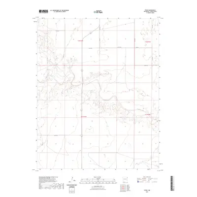
2023 Map of Stead
USGS Topo · Published 2023About this map
Tramperos Creek meanders through this high-plains landscape in Union County, shaping the local topography with its etched drainage patterns. The area is defined by a sparse network of section roads that hint at the ranching and agricultural legacies of northeastern New Mexico. Long, straight thoroughfares such as Stead Rd, Bush Rd, and Proffitt Rd serve as the primary connectors through the township grids of t22n r35e and t21n r36e. These routes often follow family-named landmarks or early settlement paths, such as Zurich Rd and Hayden Rd. The map illustrates a transitional terrain where the flat mesa lands begin to break into the draws and canyons carved by the creek, reflecting the traditional land divisions and road systems used by generations of local inhabitants.
Find a feature on this map
16 named features on this map. Tap any name to fly to it.
Don’t see what you’re looking for? This feature index may not catch every label — zoom into the map to look around manually.
Map Details
Editions of this 2023 Stead Map
This is the sole edition of this map. No revisions or reprints were ever made.
Other maps of this area

1954 · Tucumcari
USGS Topo · 1:250,000

1954 · Dalhart
USGS Topo · 1:250,000

1958 · Tucumcari
USGS Topo · 1:250,000

1958 · Dalhart
USGS Topo · 1:250,000

1962 · Dalhart
USGS Topo · 1:250,000

1966 · Skull Mesa
USGS Topo · 1:24,000

1966 · Clapham
USGS Topo · 1:24,000

1966 · Hayden
USGS Topo · 1:24,000

1970 · Stead
USGS Topo · 1:24,000

1970 · Sedan
USGS Topo · 1:24,000