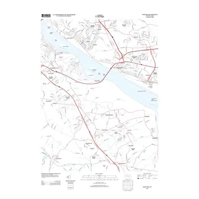
2013 Map of Steelton
USGS Topo · Published 2013About this map
The Steelton and Highspire riverfronts dominate this 2013 landscape, where the legacy of industrial transport and aviation infrastructure meets the winding Susquehanna River. Traces of the historic Pennsylvania Canal remain visible along the eastern bank, paralleling the heavy rail and road corridors that define the region's economy. The river itself is fragmented by numerous landforms, including Stucker Island, Fritz Island, and Calver Island, which sit between the bustling municipal centers and the expansive grounds of Harrisburg International Airport.
Find a feature on this map
65 named features on this map. Tap any name to fly to it.
Don’t see what you’re looking for? This feature index may not catch every label — zoom into the map to look around manually.
Map Details
Editions of this 2013 Steelton Map
This is the sole edition of this map. No revisions or reprints were ever made.
Other maps of this area

1892 · Hummelstown
USGS Topo · 1:62,500

1892 · Harrisburg
USGS Topo · 1:62,500

1899 · Harrisburg
USGS Topo · 1:62,500

1906 · New Cumberland
USGS Topo · 1:62,500

1908 · Middletown
USGS Topo · 1:62,500

1924 · Hummelstown
USGS Topo · 1:62,500

1924 · Harrisburg
USGS Topo · 1:62,500

1943 · New Cumberland
USGS Topo · 1:62,500

1943 · Middletown
USGS Topo · 1:62,500

1943 · Harrisburg
USGS Topo · 1:62,500