Loading...
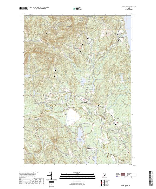
Loading map...2024 Map of Steep Falls
USGS Topo · Published 2024About this map
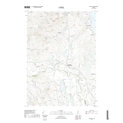
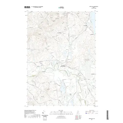
The Saco River carves a deep path through the borderlands of Cumberland and York counties, defining the character of this Southern Maine landscape. Settlements like North Baldwin and East Baldwin are scattered among a series of significant elevations, including Douglas Mtn and the Saddleback Hills. The region's early industrial roots are visible near Woods Millpond and Fitch Mill Pond, while its later aviation history is marked by the Limington-Harmon Airport.
Find a feature on this map
136 named features on this map. Tap any name to fly to it.
Don’t see what you’re looking for? This feature index may not catch every label — zoom into the map to look around manually.
Map Details
Date Portrayed2024
Date Published2024
PublisherU.S. Geological Survey
Map TypeTopographic
Scale1:24,000
Physical Dimensions24 x 29 inches
Editions of this 2024 Steep Falls Map
This is the sole edition of this map. No revisions or reprints were ever made.
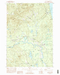
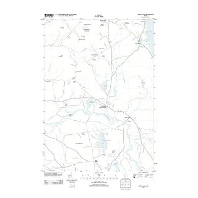
Historical Maps of Standish Through Time
6 maps found
Featured Locations
Source Details
SourceU.S. Geological Survey
CopyrightPublic Domain