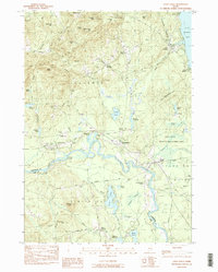
1983 Map of Steep Falls
USGS Topo · Published 1984About this map
The Saco River serves as the central artery for this corner of Maine, winding through a landscape of family cemeteries and small rural centers. The 1980s terrain is characterized by its numerous burial grounds, including the Emerson-Thorne Cem and Marrs Cem, which offer significant value for genealogical research in Baldwin and Limington. Settlement is concentrated in pockets like East Baldwin and Steep Falls, while the northern portion is dominated by the heights of Saddleback Mountain and Douglas Mtn. The river's path is complicated by Goulds Island and the expansive Steep Falls Wildlife Management Area, showing a region where managed wilderness and small-scale infrastructure, such as the Limington-Harmon Airport, exist side by side.
Find a feature on this map
74 named features on this map. Tap any name to fly to it.
Don’t see what you’re looking for? This feature index may not catch every label — zoom into the map to look around manually.
Map Details
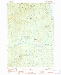
Editions of this 1983 Steep Falls Map
2 editions found
Other maps of this area

1891 · Buxton
USGS Topo · 1:62,500

1891 · Newfield
USGS Topo · 1:62,500

1892 · Buxton
USGS Topo · 1:62,500

1893 · Buxton
USGS Topo · 1:62,500

1893 · Newfield
USGS Topo · 1:62,500

1896 · Sebago
USGS Topo · 1:62,500

1910 · Kezar Falls
USGS Topo · 1:48,000

1911 · Kezar Falls
USGS Topo · 1:62,500

1933 · Newfield
USGS Topo · 1:48,000

1937 · Newfield
USGS Topo · 1:62,500