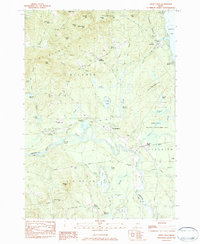
1983 Map of Steep Falls
USGS Topo · Published 1984About this map
Steep Falls and the surrounding riverlands of Baldwin are captured here as they appeared in the early 1980s. The Saco River serves as a natural boundary between Cumberland and York counties, winding past Goulds Island and the local airstrip at Limington-Harmon Airport. The landscape is dotted with family-named burial grounds like Rounds Cem, Sawyer Cem, and Wentworth Cem, reflecting the deep-rooted genealogy of the region.
Find a feature on this map
71 named features on this map. Tap any name to fly to it.
Don’t see what you’re looking for? This feature index may not catch every label — zoom into the map to look around manually.
Map Details
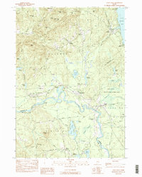
Editions of this 1983 Steep Falls Map
2 editions found
Other maps of this area

1891 · Buxton
USGS Topo · 1:62,500

1891 · Newfield
USGS Topo · 1:62,500

1892 · Buxton
USGS Topo · 1:62,500

1893 · Buxton
USGS Topo · 1:62,500

1893 · Newfield
USGS Topo · 1:62,500

1896 · Sebago
USGS Topo · 1:62,500

1910 · Kezar Falls
USGS Topo · 1:48,000

1911 · Kezar Falls
USGS Topo · 1:62,500

1933 · Newfield
USGS Topo · 1:48,000

1937 · Newfield
USGS Topo · 1:62,500