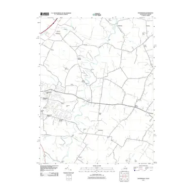
2011 Map of Stephenson
USGS Topo · Published 2011About this map
Opequon Creek winds through this northern Virginia landscape, serving as a focal point for a series of historic crossings including Seivers Ford, Clevengers Ford, Tanquarys Ford, and the Berryville Crossing. The area shows a transition from traditional agricultural settlements like Wadesville and Leetown to modern residential developments such as Burning Knolls and Shenandoah Hills.
Find a feature on this map
107 named features on this map. Tap any name to fly to it.
Don’t see what you’re looking for? This feature index may not catch every label — zoom into the map to look around manually.
Map Details
Editions of this 2011 Stephenson Map
This is the sole edition of this map. No revisions or reprints were ever made.
Other maps of this area

1884 · Harpers Ferry
USGS Topo · 1:125,000

1891 · Harpers Ferry
USGS Topo · 1:125,000

1893 · Harpers Ferry
USGS Topo · 1:125,000

1894 · Winchester
USGS Topo · 1:125,000

1914 · Martinsburg
USGS Topo · 1:48,000

1914 · Gerrardstown
USGS Topo · 1:48,000

1916 · Gerrardstown
USGS Topo · 1:62,500

1916 · Martinsburg
USGS Topo · 1:62,500

1916 · Berryville
USGS Topo · 1:62,500

1937 · Gerrardstown
USGS Topo · 1:48,000