2022 Map of Stephenson
USGS Topo · Published 2022About this map
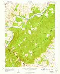
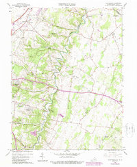
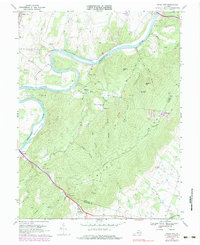
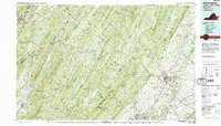
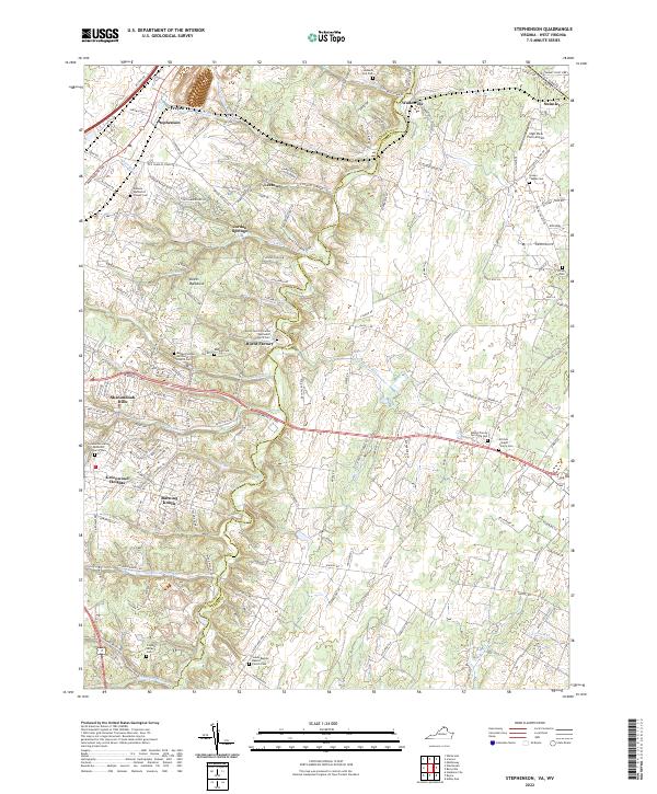
Opequon Creek meanders through this portion of the northern Shenandoah Valley, carving a path between the communities of Wadesville and Burnt Factory. The landscape is a patchwork of small residential developments like Jordan Springs and Shenandoah Hills set against older rural traditions, evidenced by the numerous small family and church burial grounds that dot the terrain. Genealogists will find significant value in the documentation of several family-named landmarks, such as the Russell Family Cemetery at Rock Hall and the Kitchen - Gaunt Family Cemetery.
Find a feature on this map
152 named features on this map. Tap any name to fly to it.
Don’t see what you’re looking for? This feature index may not catch every label — zoom into the map to look around manually.
Map Details
Editions of this 2022 Stephenson Map
This is the sole edition of this map. No revisions or reprints were ever made.
Historical Maps of Jordan Springs Through Time
7 maps found