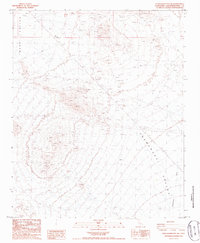
1985 Map of Stepladder Mts. NE
USGS Topo · Published 1986About this map
Ward Valley and Chemehuevi Valley meet in this arid expanse of the Mojave Desert, captured in the early 1980s. The landscape is defined by resource extraction and infrastructure, with numerous Prospects and a specific Mine located at the northern edge of the hills. A lonely Landing Strip is positioned in the valley floor, suggesting the logistical challenges of reaching these remote claims during the mid-century mining era.
Find a feature on this map
10 named features on this map. Tap any name to fly to it.
Don’t see what you’re looking for? This feature index may not catch every label — zoom into the map to look around manually.
Map Details
Editions of this 1985 Stepladder Mts. NE Map
This is the sole edition of this map. No revisions or reprints were ever made.
Other maps of this area

1903 · Needles
USGS Topo · 1:125,000

1904 · Needles Special
USGS Topo · 1:125,000

1943 · Center Hills
USGS Topo · 1:62,500

1943 · Bannock
USGS Topo · 1:62,500

1950 · Sawtooth Range
USGS Topo · 1:62,500

1950 · Needles
USGS Topo · 1:62,500

1951 · Sawtooth Range
USGS Topo · 1:62,500

1952 · Needles
USGS Topo · 1:62,500

1954 · Needles
USGS Topo · 1:250,000

1956 · Needles
USGS Topo · 1:250,000