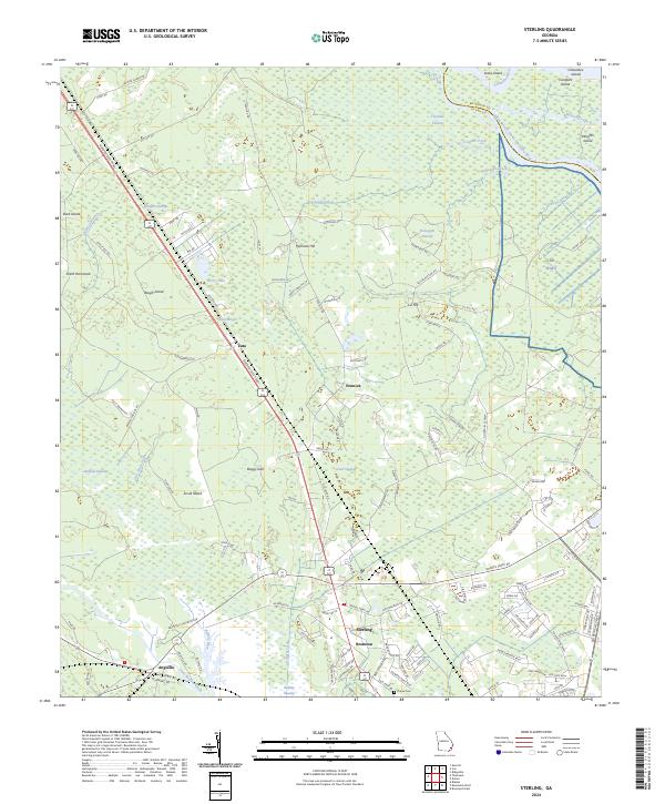
2024 Map of Sterling
USGS Topo · Published 2024About this map
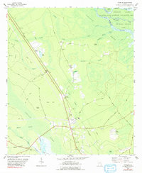
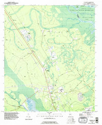
The low-lying wetlands of Glynn County and McIntosh County are meticulously detailed in this recent coastal Georgia survey. The landscape is defined by the braided waters of the Altamaha River system, including the South Branch South Altamaha River and numerous tributaries like Cowpen Creek and Minnow Creek. Inland, the terrain transitions into a mosaic of named marshes and elevations, such as Honeygall Swamp and Clayhole Swamp, which surround islands of higher ground like Pennant Hill and Liz Hill.
Find a feature on this map
129 named features on this map. Tap any name to fly to it.
Don’t see what you’re looking for? This feature index may not catch every label — zoom into the map to look around manually.
Map Details
Editions of this 2024 Sterling Map
This is the sole edition of this map. No revisions or reprints were ever made.