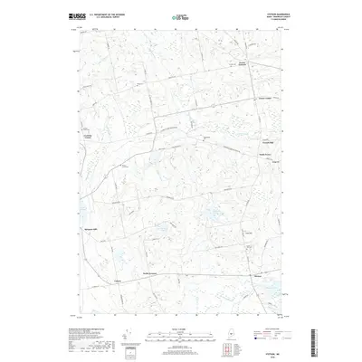
2018 Map of Stetson
USGS Topo · Published 2018About this map
Stetson and the surrounding townships of Penobscot County reveal a landscape shaped by small-scale milling and rural crossroads in the early 21st century. The terrain is defined by the drainage of Alder Stream and French Stream, which supported early industry at Spragues Mill and French Mill. For local historians and genealogists, the map preserves the locations of numerous burial grounds that anchor old family names to the land, including Crowell Cem, Morses Corner Cem, and Clark Hill Cem.
Find a feature on this map
62 named features on this map. Tap any name to fly to it.
Don’t see what you’re looking for? This feature index may not catch every label — zoom into the map to look around manually.
Map Details
Editions of this 2018 Stetson Map
This is the sole edition of this map. No revisions or reprints were ever made.
Other maps of this area

1930 · Pittsfield
USGS Topo · 1:48,000

1931 · Stetson
USGS Topo · 1:48,000

1932 · Dover-Foxcroft
USGS Topo · 1:48,000

1932 · Pittsfield
USGS Topo · 1:62,500

1933 · Pittsfield
USGS Topo · 1:62,500

1933 · Guilford
USGS Topo · 1:62,500

1935 · Dover-Foxcroft
USGS Topo · 1:62,500

1935 · Stetson
USGS Topo · 1:62,500

1937 · Guilford
USGS Topo · 1:62,500

1948 · Bangor
USGS Topo · 1:250,000