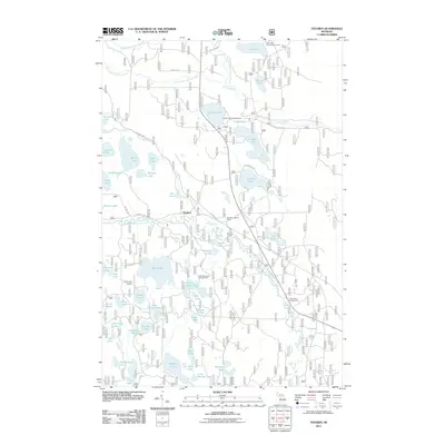
2011 Map of Steuben
USGS Topo · Published 2011About this map
Steuben sits at a crossroads in the Upper Peninsula, defined by a dense network of waterways and early 21st-century recreational infrastructure. The landscape is dominated by the Indian River and various branches of Stutts Creek, including the Middle Branch Stutts Creek and South Branch Stutts Creek. This area serves as a significant hub for outdoor activity, indicated by numerous established sites such as the Colwell Lake Campground, Little Bass Lake Campground, and the Clear Lake Organization Camp.
Find a feature on this map
64 named features on this map. Tap any name to fly to it.
Don’t see what you’re looking for? This feature index may not catch every label — zoom into the map to look around manually.
Map Details
Editions of this 2011 Steuben Map
This is the sole edition of this map. No revisions or reprints were ever made.
Other maps of this area

1931 · Steuben SE
USGS Topo · 1:31,680

1931 · Steuben SW
USGS Topo · 1:31,680

1931 · Steuben NE
USGS Topo · 1:31,680

1931 · Shingleton SW
USGS Topo · 1:31,680

1931 · Steuben NW
USGS Topo · 1:31,680

1931 · Skeels Lake NE
USGS Topo · 1:31,680

1931 · Shingleton SE
USGS Topo · 1:31,680

1931 · Munising SE
USGS Topo · 1:31,680

1932 · Skeels Lake SE
USGS Topo · 1:31,680

1958 · Corner Lake
USGS Topo · 1:62,500