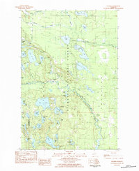
1983 Map of Steuben
USGS Topo · Published 1984About this map
Hiawatha National Forest defines this lake-rich portion of the Upper Peninsula, where the Indian River carves a winding path through the central woodlands. The small settlement of Steuben sits at a crossroads of forest roads and the historic Haywire Grade, a former railroad corridor that underscores the region's logging heritage. The landscape is densely packed with water bodies, from the larger Bass Lake and Hughes Lake to more remote features like Three Island Lake and Nevilles Lake.
Find a feature on this map
57 named features on this map. Tap any name to fly to it.
Don’t see what you’re looking for? This feature index may not catch every label — zoom into the map to look around manually.
Map Details
Editions of this 1983 Steuben Map
This is the sole edition of this map. No revisions or reprints were ever made.
Other maps of this area
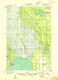
1931 · Steuben SE
USGS Topo · 1:31,680
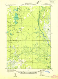
1931 · Steuben SW
USGS Topo · 1:31,680
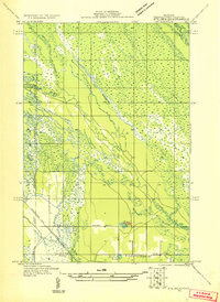
1931 · Steuben NE
USGS Topo · 1:31,680
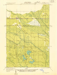
1931 · Shingleton SW
USGS Topo · 1:31,680
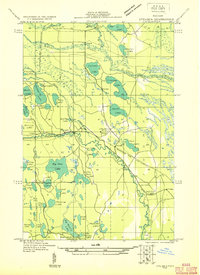
1931 · Steuben NW
USGS Topo · 1:31,680
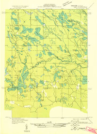
1931 · Skeels Lake NE
USGS Topo · 1:31,680
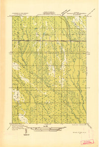
1931 · Shingleton SE
USGS Topo · 1:31,680
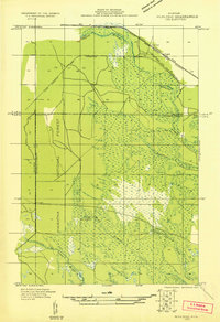
1931 · Munising SE
USGS Topo · 1:31,680
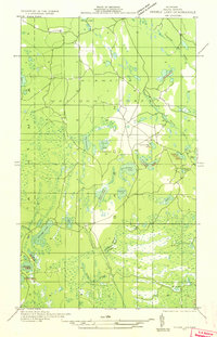
1932 · Skeels Lake SE
USGS Topo · 1:31,680
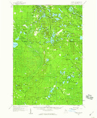
1958 · Corner Lake
USGS Topo · 1:62,500