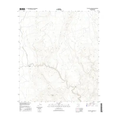
2016 Map of Stillwell Mountain
USGS Topo · Published 2016About this map
Stillwell Mtn stands as a prominent topographic anchor in this Brewster County landscape, overlooking a complex system of seasonal drainages and deep incisions. The prominent Maravillas Canyon carves through the central portion of the map, following the path of Maravillas Creek as it winds through the arid terrain. This 2016 survey illustrates the stark geomorphology of the region, where water-carved features like Arroyo Seco and Guayule Cr define the movement of the land. The network of ephemeral streams, including Cave Cr and Bear Cr, highlights the drainage patterns essential to understanding the natural boundaries and grazing potential of this portion of the Trans-Pecos. The map serves as a primary record of land elevation and hydrography in an area defined by its significant relief and desert washes.
Find a feature on this map
7 named features on this map. Tap any name to fly to it.
Don’t see what you’re looking for? This feature index may not catch every label — zoom into the map to look around manually.
Map Details
Editions of this 2016 Stillwell Mountain Map
This is the sole edition of this map. No revisions or reprints were ever made.
Other maps of this area

1917 · Bone Spring
USGS Topo · 1:62,500

1917 · Hood Spring
USGS Topo · 1:62,500

1918 · Bone Spring
USGS Topo · 1:125,000

1918 · Hood Spring
USGS Topo · 1:62,500

1918 · Dove Mountain
USGS Topo · 1:62,500

1918 · Bone Spring
USGS Topo · 1:62,500

1919 · Maravillas Canyon
USGS Topo · 1:62,500

1920 · Bone Spring
USGS Topo · 1:62,500

1931 · Hood Spring
USGS Topo · 1:62,500

1959 · Emory Peak
USGS Topo · 1:250,000