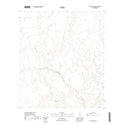
2019 Map of Stillwell Mountain
USGS Topo · Published 2019About this map
Stillwell Mountain rises above the arid landscape of Brewster County, serving as a prominent landmark in this desert region. The drainage patterns on this sheet are dominated by Maravillas Creek and its associated Maravillas Canyon, which carve through the terrain and dictate the sparse network of local roads and 4WD tracks. These seasonal waterways, including Guayule Creek and the aptly named Arroyo Seco, illustrate the complex topography where water has shaped the earth over centuries. Smaller tributaries like Bear Creek and Cave Creek feed into the larger basins, highlighting a remote environment where survival and travel were traditionally governed by the location of these intermittent water sources.
Find a feature on this map
7 named features on this map. Tap any name to fly to it.
Don’t see what you’re looking for? This feature index may not catch every label — zoom into the map to look around manually.
Map Details
Editions of this 2019 Stillwell Mountain Map
This is the sole edition of this map. No revisions or reprints were ever made.
Other maps of this area

1917 · Bone Spring
USGS Topo · 1:62,500

1917 · Hood Spring
USGS Topo · 1:62,500

1918 · Bone Spring
USGS Topo · 1:125,000

1918 · Hood Spring
USGS Topo · 1:62,500

1918 · Dove Mountain
USGS Topo · 1:62,500

1918 · Bone Spring
USGS Topo · 1:62,500

1919 · Maravillas Canyon
USGS Topo · 1:62,500

1920 · Bone Spring
USGS Topo · 1:62,500

1931 · Hood Spring
USGS Topo · 1:62,500

1959 · Emory Peak
USGS Topo · 1:250,000