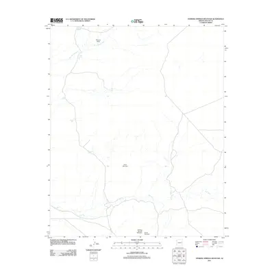
2011 Map of Stinking Springs Mountain
USGS Topo · Published 2011About this map
The Zuñi River winds through the southern landscape of this Apache County region, carving a path between the prominent peaks of Stinking Springs Mountain and South Mountain. This high-desert terrain is characterized by a network of seasonal drainages and essential water-catchment features that supported local ranching and land use in the early 21st century. The map reveals the intricate drainage patterns of Seven Springs Wash as it flows through Surprise Valley, directed toward the river valley below.
Find a feature on this map
12 named features on this map. Tap any name to fly to it.
Don’t see what you’re looking for? This feature index may not catch every label — zoom into the map to look around manually.
Map Details
Editions of this 2011 Stinking Springs Mountain Map
This is the sole edition of this map. No revisions or reprints were ever made.
Other maps of this area

1886 · St Johns
USGS Topo · 1:250,000

1892 · St Johns
USGS Topo · 1:250,000

1954 · Saint Johns
USGS Topo · 1:250,000

1955 · Adamana 1 SW
USGS Topo · 1:24,000

1955 · Adamana 4 SW
USGS Topo · 1:24,000

1955 · Adamana 4 NE
USGS Topo · 1:24,000

1955 · Adamana 4 NW
USGS Topo · 1:24,000

1955 · Wolford Springs 3 NW
USGS Topo · 1:24,000

1955 · Adamana 4 SE
USGS Topo · 1:24,000

1955 · Wolford Springs 3 SW
USGS Topo · 1:24,000