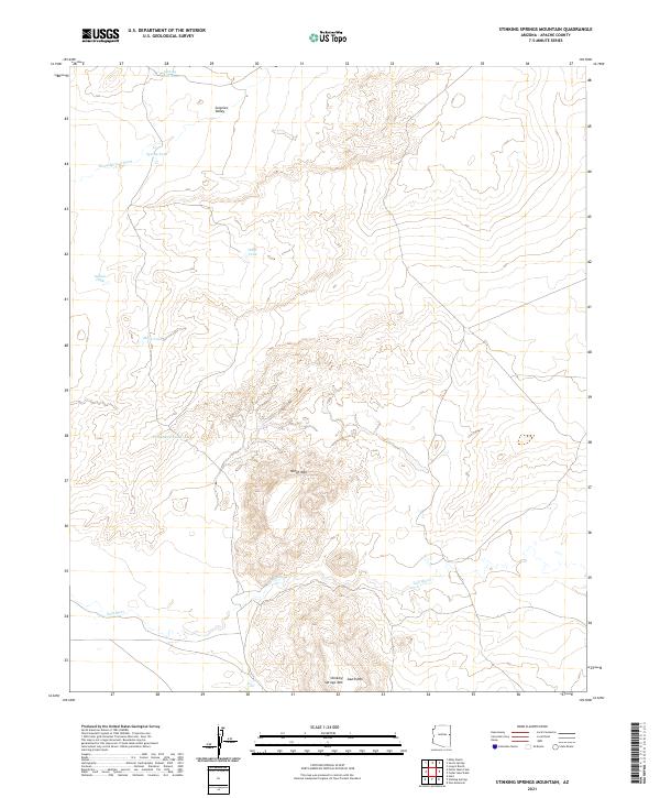
2021 Map of Stinking Springs Mountain
USGS Topo · Published 2021About this map
The Zuñi River winds across the southern reaches of this Apache County landscape, defining a corridor between the prominent volcanic profiles of North Mtn and Stinking Springs Mtn. This high-desert terrain is characterized by a sophisticated system of water catchment and drainage, essential for the ranching operations that have long shaped this part of Arizona. Numerous named water features like Tomahawk Tank, White Tank, and Grassy Knoll Tank punctuate the arid basins, indicating the vital infrastructure of the open range.
Find a feature on this map
18 named features on this map. Tap any name to fly to it.
Don’t see what you’re looking for? This feature index may not catch every label — zoom into the map to look around manually.
Map Details
Editions of this 2021 Stinking Springs Mountain Map
This is the sole edition of this map. No revisions or reprints were ever made.
Other maps of this area

1886 · St Johns
USGS Topo · 1:250,000

1892 · St Johns
USGS Topo · 1:250,000

1954 · Saint Johns
USGS Topo · 1:250,000

1955 · Adamana 1 SW
USGS Topo · 1:24,000

1955 · Adamana 4 SW
USGS Topo · 1:24,000

1955 · Adamana 4 NE
USGS Topo · 1:24,000

1955 · Adamana 4 NW
USGS Topo · 1:24,000

1955 · Wolford Springs 3 NW
USGS Topo · 1:24,000

1955 · Adamana 4 SE
USGS Topo · 1:24,000

1955 · Wolford Springs 3 SW
USGS Topo · 1:24,000