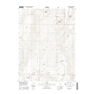
2015 Map of Stirling City
USGS Topo · Published 2015About this map
Stirling City serves as a focal point in this high-elevation landscape within the Lassen National Forest. The map documents a cluster of settlements including Inskip, Powellton, Lovelock, and the curiously named Toadtown, reflecting the area's history of logging and mining operations. The terrain is defined by dramatic elevation changes between Thatcher Ridge and the deep canyons of the West Branch Feather River and Butte Creek.
Find a feature on this map
68 named features on this map. Tap any name to fly to it.
Don’t see what you’re looking for? This feature index may not catch every label — zoom into the map to look around manually.
Map Details
Editions of this 2015 Stirling City Map
This is the sole edition of this map. No revisions or reprints were ever made.
Other maps of this area

1886 · Lassen Peak
USGS Topo · 1:250,000

1888 · Bidwell Bar
USGS Topo · 1:125,000

1891 · Bidwell Bar
USGS Topo · 1:125,000

1891 · Chico
USGS Topo · 1:125,000

1892 · Lassen Peak
USGS Topo · 1:250,000

1893 · Chico
USGS Topo · 1:125,000

1893 · Bidwell Bar
USGS Topo · 1:125,000

1894 · Lassen Peak
USGS Topo · 1:250,000

1895 · Bidwell Bar
USGS Topo · 1:125,000

1895 · Chico
USGS Topo · 1:125,000