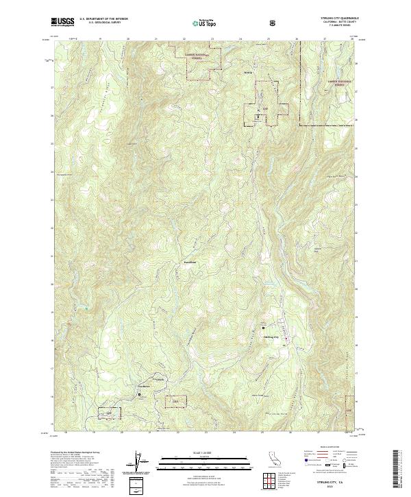
2022 Map of Stirling City
USGS Topo · Published 2022About this map
Stirling City sits at the heart of this landscape, where the Sierra Nevada foothills transition into the high timber of the Lassen National Forest. This 2022 survey captures the historical remnants of a region defined by early mountain settlement and the rugged drainages of the W Br Feather River and Butte Cr. Genealogical interest is particularly high here, with several distinct burial sites recorded, including the Inskip Pioneer Cem, Stirling City Cem, and the uniquely labeled Toadtown Grave near the community of Toadtown.
Find a feature on this map
69 named features on this map. Tap any name to fly to it.
Don’t see what you’re looking for? This feature index may not catch every label — zoom into the map to look around manually.
Map Details
Editions of this 2022 Stirling City Map
This is the sole edition of this map. No revisions or reprints were ever made.
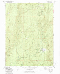
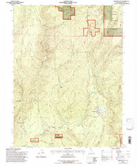
Historical Maps of Toadtown Through Time
3 maps found