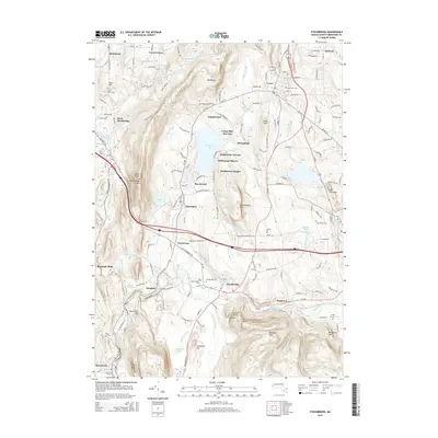
2015 Map of Stockbridge
USGS Topo · Published 2015About this map
Tanglewood and the cultural heart of the Berkshires anchor this study of the landscape surrounding the Housatonic River. The terrain is defined by prominent elevations like Stockbridge Mtn and Monument Mtn, which frame the valley and its many water bodies, including Stockbridge Bowl and Lake Averic. The map documents a blend of established estates and summer camps such as Wheatleigh and Camp Mah-Kee-Nac, alongside long-standing local landmarks like the geological formation at Ice Glen.
Find a feature on this map
167 named features on this map. Tap any name to fly to it.
Don’t see what you’re looking for? This feature index may not catch every label — zoom into the map to look around manually.
Map Details
Editions of this 2015 Stockbridge Map
This is the sole edition of this map. No revisions or reprints were ever made.
Other maps of this area

1885 · Sheffield
USGS Topo · 1:62,500

1886 · Becket
USGS Topo · 1:62,500

1888 · Sheffield
USGS Topo · 1:62,500

1888 · Becket
USGS Topo · 1:62,500

1888 · Sandisfield
USGS Topo · 1:62,500

1888 · Pittsfield
USGS Topo · 1:62,500

1890 · Pittsfield
USGS Topo · 1:62,500

1891 · Sheffield
USGS Topo · 1:62,500

1893 · Becket
USGS Topo · 1:62,500

1893 · Sheffield
USGS Topo · 1:62,500