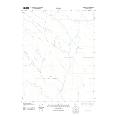
2012 Map of Stone Valley
USGS Topo · Published 2012About this map
The Tehama Colusa Canal cuts through the dry landscape of Glenn County, serving as a primary water artery for this ranching region. The terrain is defined by the Hoodoo Hills and a complex drainage network that includes Nye Cr, French Cr, and Hayes Hollow Cr. Settlement is sparse, anchored by sites like French Ranch and the small communities at Salt Gulch and Stone Valley.
Find a feature on this map
19 named features on this map. Tap any name to fly to it.
Don’t see what you’re looking for? This feature index may not catch every label — zoom into the map to look around manually.
Map Details
Editions of this 2012 Stone Valley Map
This is the sole edition of this map. No revisions or reprints were ever made.
Other maps of this area

1904 · Walker Creek
USGS Topo · 1:31,680

1904 · Logan Creek
USGS Topo · 1:24,000

1906 · Maxwell
USGS Topo · 1:62,500

1906 · Willows
USGS Topo · 1:62,500

1914 · Orland
USGS Topo · 1:31,680

1917 · Kurand
USGS Topo · 1:31,680

1917 · Lyman
USGS Topo · 1:31,680

1917 · Logandale
USGS Topo · 1:31,680

1918 · Logan Creek
USGS Topo · 1:31,680

1919 · Fruto
USGS Topo · 1:62,500