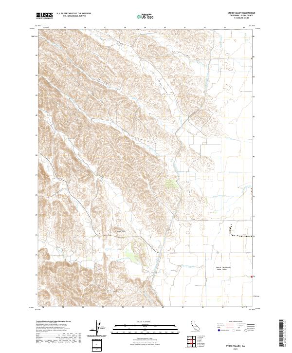
2021 Map of Stone Valley
USGS Topo · Published 2021About this map
Stone Valley and the Hoodoo Hills mark the transition from the rugged foothills of the Inner Coast Ranges to the flat expanse of the Sacramento Valley. This landscape is defined by its drainage network, where seasonal waterways like Salt Gulch Cr and French Cr carve deep impressions through the terrain before reaching the lower plains. A prominent human-engineered feature, the Tehama Colusa Canal, cuts a stark linear path across the topography, illustrating the region's reliance on large-scale water management for agriculture in the Central Valley. Local transportation is traced through rural routes such as Clarks Valley Rd and various county roads like Co Rd 35 and Co Rd 48, which serve the scattered ranching and farming operations located along the edges of Hayes Hollow and the surrounding creek beds.
Find a feature on this map
27 named features on this map. Tap any name to fly to it.
Don’t see what you’re looking for? This feature index may not catch every label — zoom into the map to look around manually.
Map Details
Editions of this 2021 Stone Valley Map
This is the sole edition of this map. No revisions or reprints were ever made.
Other maps of this area

1904 · Walker Creek
USGS Topo · 1:31,680

1904 · Logan Creek
USGS Topo · 1:24,000

1906 · Maxwell
USGS Topo · 1:62,500

1906 · Willows
USGS Topo · 1:62,500

1914 · Orland
USGS Topo · 1:31,680

1917 · Kurand
USGS Topo · 1:31,680

1917 · Lyman
USGS Topo · 1:31,680

1917 · Logandale
USGS Topo · 1:31,680

1918 · Logan Creek
USGS Topo · 1:31,680

1919 · Fruto
USGS Topo · 1:62,500