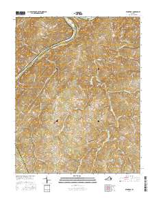
2016 Map of Stonewall
USGS Topo · Published 2016About this map
The James River snakes along the northern border of this central Virginia landscape, defining the county line between Amherst and Appomattox. This riverine geography dictated early settlement patterns, visible in the cluster at Stapleton and the large Pettyjohn Island situated in the main channel. Moving inland, the terrain is characterized by a series of named ridges and hollows, such as Paradise Ridge and Dreaming Creek Hollow, which channel the flow of Wreck Island Cr and its various branches southward toward Lawsons Pond.
Find a feature on this map
90 named features on this map. Tap any name to fly to it.
Don’t see what you’re looking for? This feature index may not catch every label — zoom into the map to look around manually.
Map Details
Editions of this 2016 Stonewall Map
This is the sole edition of this map. No revisions or reprints were ever made.
Other maps of this area

1892 · Lynchburg
USGS Topo · 1:125,000

1892 · Buckingham
USGS Topo · 1:125,000

1892 · Appomattox
USGS Topo · 1:125,000

1894 · Lexington
USGS Topo · 1:125,000

1935 · Amherst
USGS Topo · 1:48,000

1939 · Amherst
USGS Topo · 1:62,500

1944 · Lynchburg
USGS Topo · 1:62,500

1947 · Roanoke
USGS Topo · 1:250,000

1950 · Amherst
USGS Topo · 1:62,500

1950 · Lynchburg
USGS Topo · 1:62,500